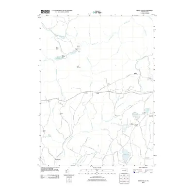
2010 Map of Sweet Valley
USGS Topo · Published 2010About this map
Sweet Valley serves as a central hub in this Luzerne County landscape, where the rural residential patterns of the early 21st century meet the legacy of earlier water management and settlement. The northern reaches are defined by the winding course of Bowman Creek and its many tributaries, including Wolf Run and Beth Run, which flow through a terrain marked by historical hydrological engineering like Mount Spring Dam and Dam Number Two. These features, alongside Splash Dam, indicate a geography long shaped by timber or early industrial water needs.
Find a feature on this map
84 named features on this map. Tap any name to fly to it.
Don’t see what you’re looking for? This feature index may not catch every label — zoom into the map to look around manually.
Map Details
Editions of this 2010 Sweet Valley Map
This is the sole edition of this map. No revisions or reprints were ever made.
Other maps of this area

1891 · Harveys Lake
USGS Topo · 1:62,500

1893 · Harvey Lake
USGS Topo · 1:62,500

1894 · Shickshinny
USGS Topo · 1:62,500

1894 · Bloomsburg
USGS Topo · 1:62,500

1934 · Laporte
USGS Topo · 1:62,500

1946 · Nanticoke
USGS Topo · 1:31,680

1946 · Shickshinny
USGS Topo · 1:31,680

1946 · Dutch Mtn
USGS Topo · 1:24,000

1946 · Harveys Lake
USGS Topo · 1:24,000

1946 · Noxen
USGS Topo · 1:24,000
Featured Places
- Hunlock Township, PA
- Prichard, Hunlock Township
- Kyttle, Ross Township
- Rittenhouse, Fairmount Township
- Ripple, Fairmount Township