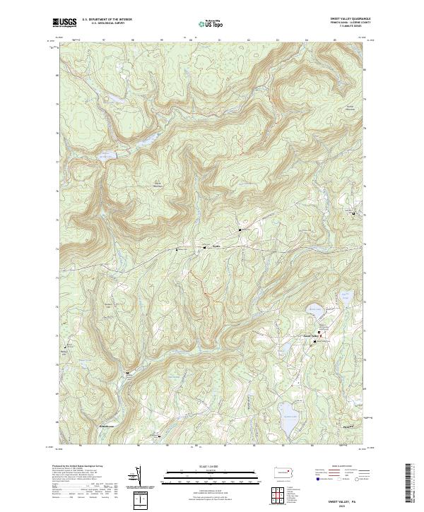
2023 Map of Sweet Valley
USGS Topo · Published 2023About this map
Huntington Creek and its many tributaries, including Arnold Creek and Phillips Creek, carve through this section of the Allegheny Plateau. The landscape is defined by the high elevations of North Mountain and Kocher Mountain, where historic transport routes like the Railroad Grade Trl follow the level contours of former logging or industrial paths. Smaller settlements such as Kyttle, Rittenhouse, and Prichard are connected by a network of rural roads that skirt around Bates Swamp and Bear Swamp.
Find a feature on this map
84 named features on this map. Tap any name to fly to it.
Don’t see what you’re looking for? This feature index may not catch every label — zoom into the map to look around manually.
Map Details
Editions of this 2023 Sweet Valley Map
This is the sole edition of this map. No revisions or reprints were ever made.
Other maps of this area

1891 · Harveys Lake
USGS Topo · 1:62,500

1893 · Harvey Lake
USGS Topo · 1:62,500

1894 · Shickshinny
USGS Topo · 1:62,500

1894 · Bloomsburg
USGS Topo · 1:62,500

1934 · Laporte
USGS Topo · 1:62,500

1946 · Nanticoke
USGS Topo · 1:31,680

1946 · Shickshinny
USGS Topo · 1:31,680

1946 · Dutch Mtn
USGS Topo · 1:24,000

1946 · Harveys Lake
USGS Topo · 1:24,000

1946 · Noxen
USGS Topo · 1:24,000