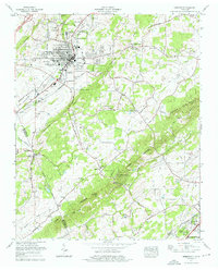
1974 Map of Sweetwater
USGS Topo · Published 1976About this map
The town of Sweetwater serves as the focal point of this mid-1970s survey, illustrating a community defined by its valley positioning and critical transit corridors. The campus of the Tennessee Military Institute occupies a prominent place in the town's northern reaches, while the Southern railroad line bisects the central district. Settlement patterns extend outward through suburban developments like Sequoyah Estates and Sherrill Heights near the Madisonville City Bdy.
Find a feature on this map
54 named features on this map. Tap any name to fly to it.
Don’t see what you’re looking for? This feature index may not catch every label — zoom into the map to look around manually.
Map Details
Editions of this 1974 Sweetwater Map
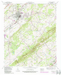
2 editions found
Other maps of this area

1886 · Cleveland
USGS Topo · 1:125,000

1887 · Kingston
USGS Topo · 1:125,000

1891 · Kingston
USGS Topo · 1:125,000

1892 · Cleveland
USGS Topo · 1:125,000

1893 · Murphy
USGS Topo · 1:125,000

1893 · Kingston
USGS Topo · 1:125,000

1895 · Cleveland
USGS Topo · 1:125,000

1895 · Loudon
USGS Topo · 1:125,000

1901 · Cleveland
USGS Topo · 1:125,000

1914 · Murphy
USGS Topo · 1:125,000