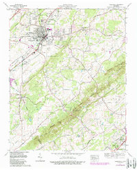
1974 Map of Sweetwater
USGS Topo · Published 1989About this map
Sweetwater sits as the primary industrial and rail hub along the Southern line, anchoring a valley defined by Sweetwater Creek and the rising ridges of Watson Ridge and Blackoak Ridge. This mid-1970s survey, with later revisions, shows a landscape transitioning from rural crossroads like Christianburg to developed residential pockets such as Sequoyah Estates. A notable landmark is the Craighead Caverns (Lost Sea) situated within The Knobs, a geological formation that dominates the southeast quadrant. Education and faith are central to the community's fabric, represented by Tennessee Meiji Gakuin High Sch and numerous country sanctuaries like Alta Vista Ch and Oakland Ch. The presence of the Monroe County Airfield and the Madisonville Lookout Tower further south reflects the infrastructure supporting this portion of Monroe County and McMinn County.
Find a feature on this map
60 named features on this map. Tap any name to fly to it.
Don’t see what you’re looking for? This feature index may not catch every label — zoom into the map to look around manually.
Map Details
Editions of this 1974 Sweetwater Map
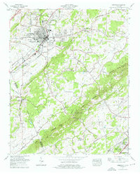
2 editions found
Other maps of this area

1886 · Cleveland
USGS Topo · 1:125,000

1887 · Kingston
USGS Topo · 1:125,000

1891 · Kingston
USGS Topo · 1:125,000

1892 · Cleveland
USGS Topo · 1:125,000

1893 · Murphy
USGS Topo · 1:125,000

1893 · Kingston
USGS Topo · 1:125,000

1895 · Cleveland
USGS Topo · 1:125,000

1895 · Loudon
USGS Topo · 1:125,000

1901 · Cleveland
USGS Topo · 1:125,000

1914 · Murphy
USGS Topo · 1:125,000