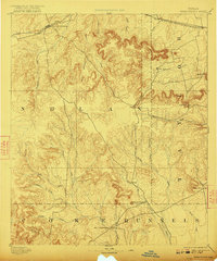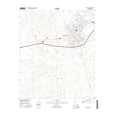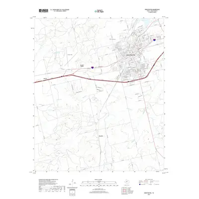
1985 Map of Sweetwater
USGS Topo · Published 1989About this map
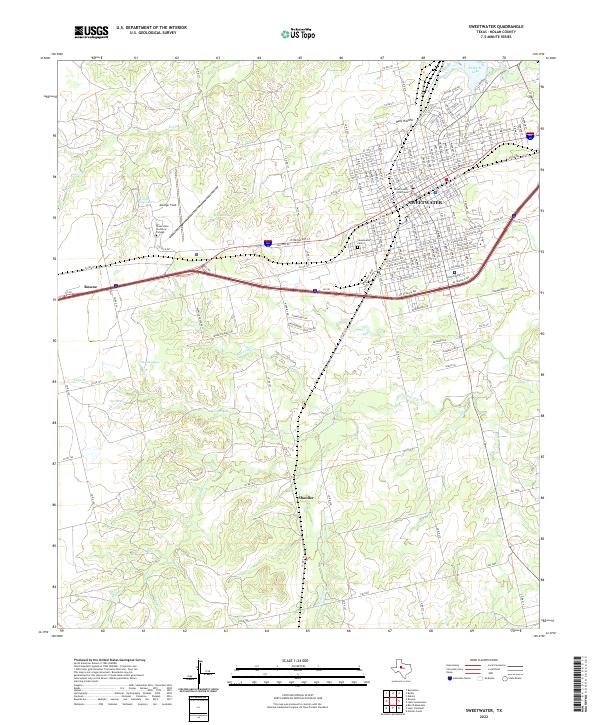
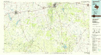
Sweetwater and Colorado City serve as the primary urban anchors in this mid-1980s topographical study of the West Texas rolling plains. The landscape is defined by The Divide, a prominent topographic ridge separating drainage basins, while the Texas and Pacific RR corridor provides the historical backbone for settlements like Roscoe, Loraine, and Merkel. The era's emphasis on water management is evident in the numerous large impoundments, including Oak Creek Reservoir, Lake Sweetwater, and E V Spence Reservoir, which contrast with the intermittent nature of the Colorado River and its various tributaries like Beals Creek.
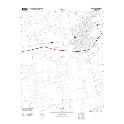
Find a feature on this map
99 named features on this map. Tap any name to fly to it.
Don’t see what you’re looking for? This feature index may not catch every label — zoom into the map to look around manually.
Map Details
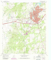
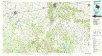
Editions of this 1985 Sweetwater Map
2 editions found
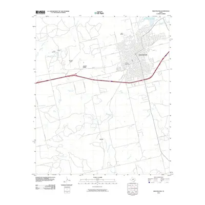
Historical Maps of Sweetwater Through Time
8 maps found