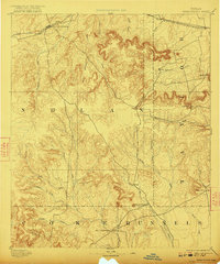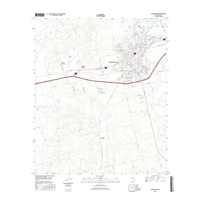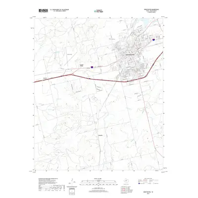
1985 Map of Sweetwater
USGS Topo · Published 1985About this map
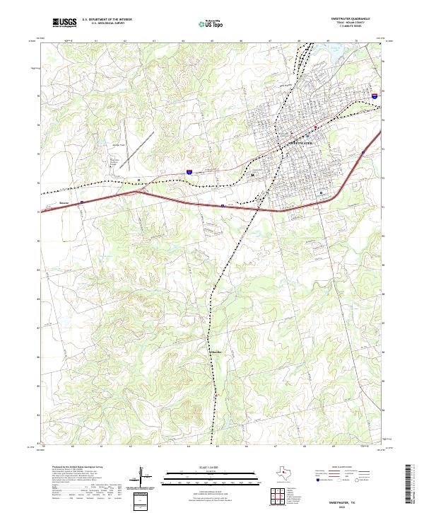
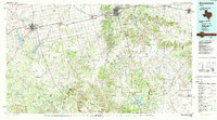
Sweetwater serves as the regional hub in this mid-1980s landscape, where the high plains meet the rolling limestone breaks of the Edwards Plateau. The geography is defined by The Divide, a prominent ridge line separating the drainages of the Colorado River to the west and the Brazos River tributaries to the east. Transportation and industry are central to the area's identity, evidenced by the crossing of the Missouri Pacific RR and the Atchison Topeka and Santa Fe RR, alongside significant energy infrastructure like the local Refinery. Rural life persists through small communities such as Maryneal and Blackwell, while historical anchors like Ft Chadbourne and the Bauman School sit amidst a network of creeks including Bitter Creek and Mulberry Creek. To the south, the Oak Creek Reservoir and Lake Sweetwater provide essential water resources for a region characterized by ranching, oil extraction, and aviation hubs like Sweetwater Municipal Airport.
Find a feature on this map
164 named features on this map. Tap any name to fly to it.
Don’t see what you’re looking for? This feature index may not catch every label — zoom into the map to look around manually.
Map Details
Editions of this 1985 Sweetwater Map
2 editions found
Historical Maps of Sweetwater Through Time
8 maps found