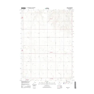
2015 Map of Swett NE
USGS Topo · Published 2015About this map
Little White River winds through the southern reaches of this South Dakota landscape, providing a vital water source in a region defined by its wide, open topography. The terrain is organized by a precise grid of rural roads and section lines, reflecting the legacy of the Public Land Survey System across the High Plains. Major north-south corridors like 214th Ave and 217th Ave intersect with east-west routes such as 290th St, creating a structured network for the agricultural community. While the land appears largely undeveloped, the placement of named roads like Apple Rd, Dogwood Rd, and Walnut Rd suggests local landmarks and access points for the scattered farmsteads that characterize this part of Bennett County.
Find a feature on this map
25 named features on this map. Tap any name to fly to it.
Don’t see what you’re looking for? This feature index may not catch every label — zoom into the map to look around manually.
Map Details
Editions of this 2015 Swett NE Map
This is the sole edition of this map. No revisions or reprints were ever made.
Other maps of this area

1955 · Martin
USGS Topo · 1:250,000

1958 · Martin
USGS Topo · 1:250,000

1981 · Patricia
USGS Topo · 1:25,000

1981 · Phantom Lake
USGS Topo · 1:25,000

1981 · Martin
USGS Topo · 1:25,000

1981 · Allen
USGS Topo · 1:25,000

1981 · Ecoffey Lake
USGS Topo · 1:25,000

1981 · Swett
USGS Topo · 1:25,000

1983 · Martin
USGS Topo · 1:100,000
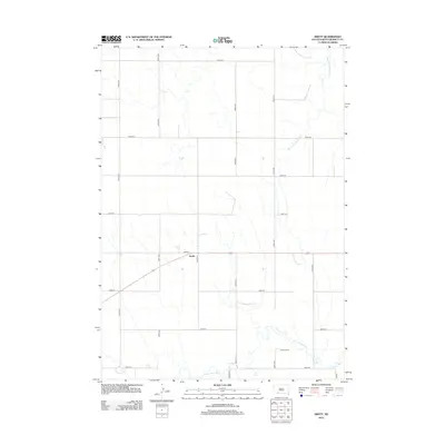
2012 · Swett
USGS Topo · 1:24,000