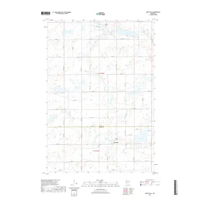
2019 Map of Swift Falls
USGS Topo · Published 2019About this map
Swift Falls and its surrounding agricultural landscape are defined by the winding course of the E Br Chippewa River. The river is harnessed at the Swift Falls Reservoir, which sits just above the main settlement. This area near the Pope and Swift County border is a glaciated terrain of numerous water bodies, including Kolstad Lake, Lake Hanson, and the distinctive Blue Mounds rise to the north.
Find a feature on this map
41 named features on this map. Tap any name to fly to it.
Don’t see what you’re looking for? This feature index may not catch every label — zoom into the map to look around manually.
Map Details
Editions of this 2019 Swift Falls Map
This is the sole edition of this map. No revisions or reprints were ever made.
Other maps of this area

1953 · Saint Cloud
USGS Topo · 1:250,000

1957 · Saint Cloud
USGS Topo · 1:250,000

1958 · Saint Cloud
USGS Topo · 1:250,000

1968 · Starbuck
USGS Topo · 1:24,000

1968 · De Graff
USGS Topo · 1:24,000

1968 · Terrace
USGS Topo · 1:24,000

1968 · Lake Hassel
USGS Topo · 1:24,000

1968 · Benson
USGS Topo · 1:24,000

1968 · Lake Simon
USGS Topo · 1:24,000
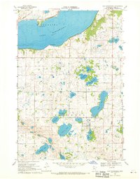
1968 · Lake Minnewaska
USGS Topo · 1:24,000