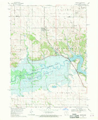
1968 Map of Swisher
USGS Topo · Published 1970About this map
Swisher and Shueyville anchor this late 1960s landscape, where the Cedar Rapids and Iowa City railroad cuts a straight path through the township boundaries of Jefferson and Monroe. The southern half of the map is dominated by the Coralville Reservoir and the Hawkeye State Wildlife Area, showing the man-made shoreline at its normal pool elevation of 680 feet. Several small ponds and lakes, such as Wisniewski Pond and Swan Lake, dot the lowlands near the Iowa River.
Find a feature on this map
39 named features on this map. Tap any name to fly to it.
Don’t see what you’re looking for? This feature index may not catch every label — zoom into the map to look around manually.
Map Details
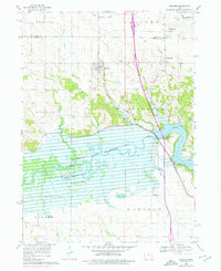
Editions of this 1968 Swisher Map
2 editions found
Other maps of this area

1887 · Cedar Rapids
USGS Topo · 1:62,500

1888 · Amana
USGS Topo · 1:62,500

1889 · Amana
USGS Topo · 1:62,500

1891 · Oxford
USGS Topo · 1:62,500

1891 · Cedar Rapids
USGS Topo · 1:62,500

1891 · Iowa City
USGS Topo · 1:62,500

1894 · Oxford
USGS Topo · 1:62,500

1899 · Amana
USGS Topo · 1:62,500

1903 · Fairfax
USGS Topo · 1:125,000

1938 · Iowa City
USGS Topo · 1:62,500