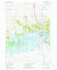
1968 Map of Swisher
USGS Topo · Published 1976About this map
Coralville Lake and the Hawkeye State Wildlife Area dominate this section of the Iowa River valley, where the landscape is defined by the managed inundation of the river's floodplains. To the north, the small settlements of Swisher, Shueyville, Cou Falls, and Western sit among rolling agricultural uplands drained by a network of creeks including Hoosier Creek and McAllister Creek. The Cedar Rapids and Iowa City railroad corridor provides a north-south transit spine through the center of the sheet, reflecting the area's role as a connector between major eastern Iowa hubs.
Find a feature on this map
38 named features on this map. Tap any name to fly to it.
Don’t see what you’re looking for? This feature index may not catch every label — zoom into the map to look around manually.
Map Details
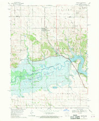
Editions of this 1968 Swisher Map
2 editions found
Other maps of this area

1887 · Cedar Rapids
USGS Topo · 1:62,500

1888 · Amana
USGS Topo · 1:62,500

1889 · Amana
USGS Topo · 1:62,500

1891 · Oxford
USGS Topo · 1:62,500

1891 · Cedar Rapids
USGS Topo · 1:62,500

1891 · Iowa City
USGS Topo · 1:62,500

1894 · Oxford
USGS Topo · 1:62,500

1899 · Amana
USGS Topo · 1:62,500

1903 · Fairfax
USGS Topo · 1:125,000

1938 · Iowa City
USGS Topo · 1:62,500