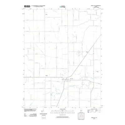
2010 Map of Switz City
USGS Topo · Published 2010About this map
The intersection of agriculture and drainage engineering defines this Greene County landscape, centered on the village of Switz City. A network of man-made waterways like Letsinger Ditch, Fourmile Ditch, and Beehunter Ditch demonstrates the intensive land management required to cultivate this terrain. These channels cut across the natural paths of Lemon Creek and Lattas Creek, revealing the evolution of rural Indiana's water table management.
Find a feature on this map
55 named features on this map. Tap any name to fly to it.
Don’t see what you’re looking for? This feature index may not catch every label — zoom into the map to look around manually.
Map Details
Editions of this 2010 Switz City Map
This is the sole edition of this map. No revisions or reprints were ever made.
Other maps of this area

1908 · Bloomfield
USGS Topo · 1:62,500

1938 · Coal City
USGS Topo · 1:24,000

1938 · Switz City
USGS Topo · 1:24,000

1940 · Linton
USGS Topo · 1:24,000

1940 · Jasonville
USGS Topo · 1:24,000

1943 · Lyons
USGS Topo · 1:24,000

1943 · Sandborn
USGS Topo · 1:24,000

1947 · Switz City
USGS Topo · 1:24,000

1947 · Linton
USGS Topo · 1:24,000

1948 · Coal City
USGS Topo · 1:24,000