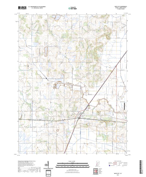
2022 Map of Switz City
USGS Topo · Published 2022About this map
Switz City serves as the primary hub of this Greene County landscape, situated at the junction of several key local routes and the northern edge of a managed drainage network. The town's grid is clearly defined, and local history is preserved at the Switz City Cem just west of the center. The surrounding terrain is defined by a series of north-to-south watercourses and ditches, including Lattas Creek and the southern Fourmile Ditch, which suggest a long history of agricultural engineering in this part of Indiana. Scattered across the rural sections are small family burial grounds like Buzan Cem and Waggoner Cem, providing important landmarks for genealogists. To the east, Shawnee Field represents a modern land use contrasting with the established township sections of t7n r6w and t8n r5w.
Find a feature on this map
63 named features on this map. Tap any name to fly to it.
Don’t see what you’re looking for? This feature index may not catch every label — zoom into the map to look around manually.
Map Details
Editions of this 2022 Switz City Map
This is the sole edition of this map. No revisions or reprints were ever made.
Other maps of this area

1908 · Bloomfield
USGS Topo · 1:62,500

1938 · Coal City
USGS Topo · 1:24,000

1938 · Switz City
USGS Topo · 1:24,000

1940 · Linton
USGS Topo · 1:24,000

1940 · Jasonville
USGS Topo · 1:24,000

1943 · Lyons
USGS Topo · 1:24,000

1943 · Sandborn
USGS Topo · 1:24,000

1947 · Switz City
USGS Topo · 1:24,000

1947 · Linton
USGS Topo · 1:24,000

1948 · Coal City
USGS Topo · 1:24,000