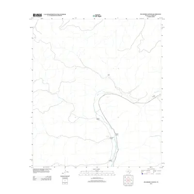
2012 Map of Sycamore Canyon
USGS Topo · Published 2012About this map
The Devils River carves through the central portion of this Val Verde County landscape, acting as a primary artery for the region's scattered ranching outposts. During this period in the early 21st century, the persistence of water at Pecan Springs and Hudspeth Springs supported the survival of remote livestock operations. The topography is dominated by dramatic drainage systems, including Sycamore Canyon and Trail Canyon, which reveal a complex network of seasonal washes and steep elevations. Human presence is concentrated at the Jarrett Ranch and Hudspeth River Ranch, illustrating the long-standing land-use patterns typical of West Texas ranching country. High-clearance routes and the state highway provide the only significant access through Wallace Canyon and across the Brushy Draw, where the terrain dictates the flow of travel and commerce.
Find a feature on this map
9 named features on this map. Tap any name to fly to it.
Don’t see what you’re looking for? This feature index may not catch every label — zoom into the map to look around manually.
Map Details
Editions of this 2012 Sycamore Canyon Map
This is the sole edition of this map. No revisions or reprints were ever made.
Other maps of this area

1943 · Shumla
USGS Topo · 1:62,500

1944 · Baker Crossing
USGS Topo · 1:62,500

1954 · Sonora
USGS Topo · 1:250,000

1958 · Sonora
USGS Topo · 1:250,000

1958 · Del Rio
USGS Topo · 1:250,000

1964 · Del Rio
USGS Topo · 1:250,000

1970 · Juno
USGS Topo · 1:24,000

1970 · Steel Star Draw
USGS Topo · 1:24,000

1970 · Sycamore Canyon
USGS Topo · 1:24,000

1970 · Blue Hills
USGS Topo · 1:24,000