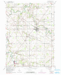
1960 Map of Sycamore
USGS Topo · Published 1991About this map
The Old Indian Treaty Boundary bisects this portion of Wyandot County, marking a historical line of demarcation that shaped the land divisions visible in this 1960s landscape. The village of Sycamore serves as the primary hub, situated at the junction of the Akron Canton and Youngstown and Penn Central railroads. These rail lines cut across a terrain defined by the winding Sandusky River to the northwest and a network of agricultural drainage including Greasy Run and Sugar Run. Smaller settlements such as Belle Vernon, Mexico, and Deunquat dot the map, providing a glimpse into the rural community structure before modern consolidation. Local genealogy is well-represented through several burial grounds, including Quaker Hill Cem and Pleasant Ridge Cem, while the presence of Gravel Pits and camps like Camp Pittenger indicates the local industrial and recreational uses of the river valley.
Find a feature on this map
41 named features on this map. Tap any name to fly to it.
Don’t see what you’re looking for? This feature index may not catch every label — zoom into the map to look around manually.
Map Details
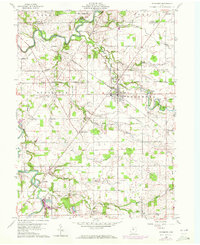
Editions of this 1960 Sycamore Map
Other maps of this area

1901 · Fostoria
USGS Topo · 1:62,500

1903 · Fostoria
USGS Topo · 1:62,500

1906 · Sycamore
USGS Topo · 1:62,500

1906 · Tiffin
USGS Topo · 1:62,500

1907 · Upper Sandusky
USGS Topo · 1:62,500

1950 · Marion
USGS Topo · 1:250,000

1956 · Toledo
USGS Topo · 1:250,000

1960 · Sycamore
USGS Topo · 1:24,000

1960 · Tiffin South
USGS Topo · 1:24,000

1960 · Oceola
USGS Topo · 1:24,000