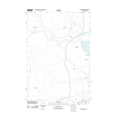
2011 Map of Sykes Spring
USGS Topo · Published 2011About this map
Sykes Mountain dominates the eastern horizon of this 2011 survey, a landscape defined by industrial extraction and vital water management along the Montana-Wyoming border. The terrain is marked by numerous mineral operations, including the Sykes Mountain Mine, the Crooked Creek Group Mine, and the sprawling Lovell Deposit Number One Mine. These sites speak to the region's enduring mining heritage, where gypsum and other resources have long been harvested from the arid earth.
Find a feature on this map
21 named features on this map. Tap any name to fly to it.
Don’t see what you’re looking for? This feature index may not catch every label — zoom into the map to look around manually.
Map Details
Editions of this 2011 Sykes Spring Map
This is the sole edition of this map. No revisions or reprints were ever made.
Other maps of this area

1954 · Billings
USGS Topo · 1:250,000

1955 · Cody
USGS Topo · 1:250,000

1957 · Billings
USGS Topo · 1:250,000

1958 · Billings
USGS Topo · 1:250,000

1958 · Cody
USGS Topo · 1:250,000

1962 · Cody
USGS Topo · 1:250,000

1964 · Kane
USGS Topo · 1:24,000

1964 · Red Pryor Mountain
USGS Topo · 1:24,000

1964 · Lovell Lakes
USGS Topo · 1:24,000

1964 · Sykes Spring
USGS Topo · 1:24,000