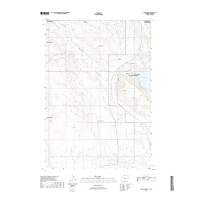
2017 Map of Sykes Spring
USGS Topo · Published 2017About this map
Bighorn Canyon National Recreation Area occupies the eastern portion of this map, where the waters of Bighorn Lake meet the steep slopes of Sykes Mountain. This high-desert landscape in the late 2010s is defined by its drainage systems and water management, ranging from natural features like Crooked Cr and Britton Spring to man-made infrastructure like the Dew and Duffield Ditch and Big Fork Canal. The terrain is marked by significant topographical shifts, most notably at Canyonmouth and the broad Big Coulee. Local transportation is limited to a network of unimproved routes, including the Yellowtail Mining Road, Boneyard Road, and Horseshoe Bend Road, which navigate the complex elevations of the Wyoming and Montana border region.
Find a feature on this map
25 named features on this map. Tap any name to fly to it.
Don’t see what you’re looking for? This feature index may not catch every label — zoom into the map to look around manually.
Map Details
Editions of this 2017 Sykes Spring Map
This is the sole edition of this map. No revisions or reprints were ever made.
Other maps of this area

1954 · Billings
USGS Topo · 1:250,000

1955 · Cody
USGS Topo · 1:250,000

1957 · Billings
USGS Topo · 1:250,000

1958 · Billings
USGS Topo · 1:250,000

1958 · Cody
USGS Topo · 1:250,000

1962 · Cody
USGS Topo · 1:250,000

1964 · Kane
USGS Topo · 1:24,000

1964 · Red Pryor Mountain
USGS Topo · 1:24,000

1964 · Lovell Lakes
USGS Topo · 1:24,000

1964 · Sykes Spring
USGS Topo · 1:24,000