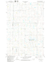
1978 Map of Sykeston SW
USGS Topo · Published 1979About this map
Glacial prairie potholes and wetland depressions dominate this central North Dakota landscape, situated at the jurisdictional meeting point of Wells, Stutsman, and Kidder counties. The terrain is characterized by broad basins such as Johnson, Lowery, and Rexine, which create a complex drainage pattern typical of the Missouri Coteau. Much of this water-rich environment is preserved within the National Waterfowl Production Area, reflecting a mid-twentieth-century focus on conservation and wildlife management.
Find a feature on this map
15 named features on this map. Tap any name to fly to it.
Don’t see what you’re looking for? This feature index may not catch every label — zoom into the map to look around manually.
Map Details
Editions of this 1978 Sykeston SW Map
This is the sole edition of this map. No revisions or reprints were ever made.
Other maps of this area

1951 · Heaton
USGS Topo · 1:24,000

1951 · Dover
USGS Topo · 1:24,000

1951 · Sykeston
USGS Topo · 1:24,000

1952 · New Rockford
USGS Topo · 1:250,000

1956 · New Rockford
USGS Topo · 1:250,000

1971 · New Rockford
USGS Topo · 1:250,000

1972 · Woodworth
USGS Topo · 1:24,000

1972 · Lake Williams
USGS Topo · 1:24,000
1972 · Woodworth NW
USGS Topo · 1:24,000
1978 · Bowdon SE
USGS Topo · 1:24,000