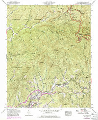
1967 Map of Sylva North
USGS Topo · Published 1978About this map
Sylva serves as the primary hub of this 1960s landscape, where the Southern railroad line and the highway network converge near the Harris Community Hospital. The map illustrates a mountain region defined by the intersection of three major protected areas: the Cherokee Indian Reservation to the north, the Nantahala National Forest spanning the center, and the Nantahala Game Lands to the west. Local infrastructure including the Sylva Reservoir and the Scotts Creek School anchors the community life of small settlements like Addie and Beta.
Find a feature on this map
76 named features on this map. Tap any name to fly to it.
Don’t see what you’re looking for? This feature index may not catch every label — zoom into the map to look around manually.
Map Details
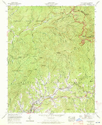
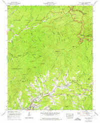
Editions of this 1967 Sylva North Map
3 editions found
Other maps of this area

1891 · Cowee
USGS Topo · 1:125,000

1893 · Mt Guyot
USGS Topo · 1:125,000

1897 · Cowee
USGS Topo · 1:125,000

1907 · Cowee
USGS Topo · 1:125,000

1912 · Mt Guyot
USGS Topo · 1:125,000

1933 · Bryson
USGS Topo · 1:62,500

1935 · Dellwood
USGS Topo · 1:24,000

1935 · Tuckaseigee
USGS Topo · 1:24,000

1935 · Hazelwood
USGS Topo · 1:24,000

1935 · Cullowhee
USGS Topo · 1:24,000