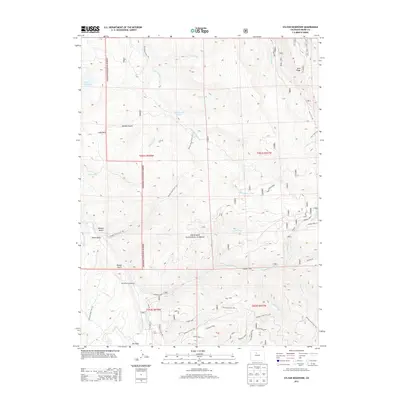
2013 Map of Sylvan Reservoir
USGS Topo · Published 2013About this map
Arapaho National Forest dominates this mountain landscape, which is defined by a complex network of high ridges and deep drainages in Grand County. The terrain is characterized by prominent features like Blue Ridge and the Old Keyser Divide, with several named spurs such as Long Spur and Leaverite Spur branching off the primary elevations. Water from De Koevend Lake and Sylvan Reservoir feeds into a system of creeks, including Little Muddy Creek and Keyser Creek, which have shaped the gulches and parks below.
Find a feature on this map
47 named features on this map. Tap any name to fly to it.
Don’t see what you’re looking for? This feature index may not catch every label — zoom into the map to look around manually.
Map Details
Editions of this 2013 Sylvan Reservoir Map
This is the sole edition of this map. No revisions or reprints were ever made.
Other maps of this area

1915 · Longs Peak
USGS Topo · 1:125,000

1919 · Rocky Mountain National Park
USGS Topo · 1:125,000

1924 · Fraser
USGS Topo · 1:62,500

1926 · Fraser
USGS Topo · 1:62,500

1933 · Ute Peak
USGS Topo · 1:62,500

1937 · Ute Peak
USGS Topo · 1:62,500

1953 · Denver
USGS Topo · 1:250,000

1954 · Greeley
USGS Topo · 1:250,000

1954 · Craig
USGS Topo · 1:250,000

1957 · Denver
USGS Topo · 1:250,000