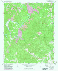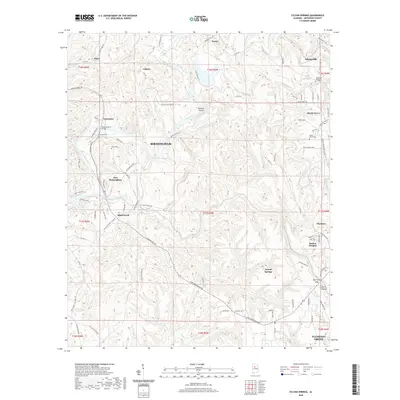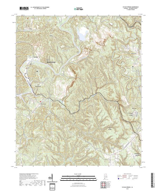
1975 Map of Sylvan Springs
USGS Topo · Published 1977About this map
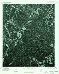
Locust Fork snakes through the Jefferson County landscape in this mid-1970s orthophotoquad, revealing a terrain defined by deep river bends and intense industrial activity. Unlike traditional line maps, this photographic study shows the raw impact of surface mining and clearing across the ridges of Sylvan Springs. The high-contrast imagery, produced in cooperation with the Soil Conservation Service, captures the exact state of land use during a period of heavy extraction. Researchers can observe the geometric patterns of residential development as they begin to encroach upon the surrounding woodlands and excavations, providing a literal look at the interface between rural Alabama and the industrial needs of the era.
Find a feature on this map
2 named features on this map. Tap any name to fly to it.
Don’t see what you’re looking for? This feature index may not catch every label — zoom into the map to look around manually.
Map Details
Editions of this 1975 Sylvan Springs Map
This is the sole edition of this map. No revisions or reprints were ever made.
Historical Maps of Birmingham Through Time
7 maps found