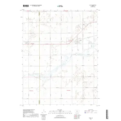
2018 Map of Sylvia
USGS Topo · Published 2018About this map
Sylvia and Zenith anchor this Western Kansas landscape, illustrating a grid-defined rural layout where township roads like Trail West Rd and Long View Rd dictate the pace of movement across the plains. The N Fork Ninnescah River meanders through the central portion of the map, surrounded by complex wetland patterns that contrast with the rigid agricultural divisions. Local heritage is preserved at the Sylvia Cem and Glendale Cem, while the inclusion of Roberts Air Field suggests the intersection of traditional farming life with modern regional aviation. The map also delineates the western boundary of Reno County at the Stafford Co Reno Co line, showing how these administrative borders bisect the natural drainage of the Ninnescah basin.
Find a feature on this map
50 named features on this map. Tap any name to fly to it.
Don’t see what you’re looking for? This feature index may not catch every label — zoom into the map to look around manually.
Map Details
Editions of this 2018 Sylvia Map
This is the sole edition of this map. No revisions or reprints were ever made.
Other maps of this area

1891 · Great Bend
USGS Topo · 1:125,000

1892 · Kingman
USGS Topo · 1:125,000

1892 · Pratt
USGS Topo · 1:125,000

1893 · Great Bend
USGS Topo · 1:125,000

1894 · Kingman
USGS Topo · 1:125,000

1894 · Pratt
USGS Topo · 1:125,000

1894 · Lyons
USGS Topo · 1:125,000

1955 · Great Bend
USGS Topo · 1:250,000

1955 · Pratt
USGS Topo · 1:250,000

1957 · Great Bend
USGS Topo · 1:250,000