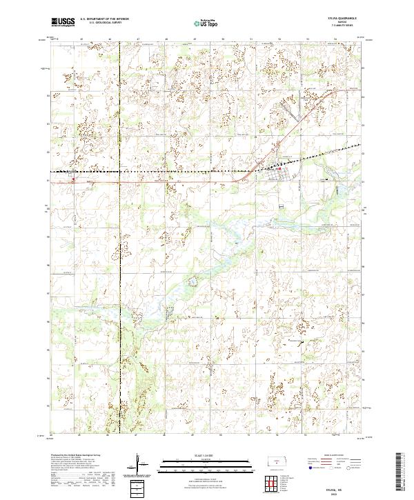
2022 Map of Sylvia
USGS Topo · Published 2022About this map
Sylvia serves as the primary hub of this Western Kansas landscape, situated near the Stafford County and Reno County line. The settlement pattern follows a grid of section-line roads, such as Salt Marsh Rd and Trail West Rd, which frame a terrain defined by the winding course of the N Fork Ninnescah River. To the west, the small community of Zenith sits along the rail line, while the nearby Sylvia Cem and Glendale Cem provide specific points of interest for genealogists tracing local families. The hydrology of the region is notably active, with the Zenithscah Cr feeding into the river and the presence of Sunset Lakes to the east, reflecting the varied water features that dictate the placement of local homesteads and agricultural plots.
Find a feature on this map
52 named features on this map. Tap any name to fly to it.
Don’t see what you’re looking for? This feature index may not catch every label — zoom into the map to look around manually.
Map Details
Editions of this 2022 Sylvia Map
This is the sole edition of this map. No revisions or reprints were ever made.
Other maps of this area

1891 · Great Bend
USGS Topo · 1:125,000

1892 · Kingman
USGS Topo · 1:125,000

1892 · Pratt
USGS Topo · 1:125,000

1893 · Great Bend
USGS Topo · 1:125,000

1894 · Kingman
USGS Topo · 1:125,000

1894 · Pratt
USGS Topo · 1:125,000

1894 · Lyons
USGS Topo · 1:125,000

1955 · Great Bend
USGS Topo · 1:250,000

1955 · Pratt
USGS Topo · 1:250,000

1957 · Great Bend
USGS Topo · 1:250,000