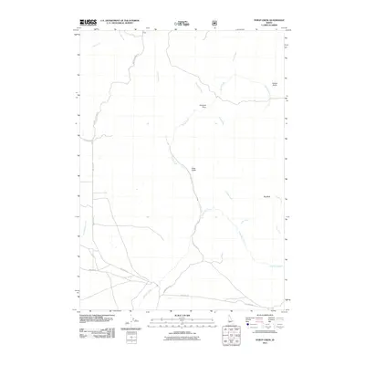
2011 Map of Syrup Creek
USGS Topo · Published 2011About this map
Syrup Creek Rd and Tollgate Rd provide the primary access through this drainage-rich landscape in Elmore County, where watercourses like Syrup Creek and Long Tom Creek shape the local geography. The map reveals a network of high-desert terrain features, notably Emigrant Cove and the prominent Big Bluff, reflecting a region defined by its rugged gulches and winding creek beds.
Find a feature on this map
22 named features on this map. Tap any name to fly to it.
Don’t see what you’re looking for? This feature index may not catch every label — zoom into the map to look around manually.
Map Details
Editions of this 2011 Syrup Creek Map
This is the sole edition of this map. No revisions or reprints were ever made.
Other maps of this area

1892 · Mountain Home
USGS Topo · 1:125,000

1893 · Mountain Home
USGS Topo · 1:125,000

1955 · Hailey
USGS Topo · 1:250,000

1956 · Crater Rings
USGS Topo · 1:24,000

1956 · Mountain Home North
USGS Topo · 1:24,000

1956 · Mountain Home
USGS Topo · 1:62,500

1959 · Hailey
USGS Topo · 1:250,000

1960 · Mayfield
USGS Topo · 1:62,500

1960 · Danskin Peak
USGS Topo · 1:62,500

1962 · Hailey
USGS Topo · 1:250,000