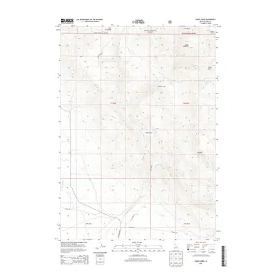
2013 Map of Syrup Creek
USGS Topo · Published 2013About this map
The Danskin Mountains dominate this 2013 topographic survey of Elmore County, providing a glimpse into the steep drainage systems within the southern reaches of the Boise National Forest. The map is defined by its complex network of seasonal and perennial waterways, including the winding Syrup Creek and Canyon Creek, which have carved deep features such as Dixie Gulch and Teetors Gulch into the landscape.
Find a feature on this map
30 named features on this map. Tap any name to fly to it.
Don’t see what you’re looking for? This feature index may not catch every label — zoom into the map to look around manually.
Map Details
Editions of this 2013 Syrup Creek Map
This is the sole edition of this map. No revisions or reprints were ever made.
Other maps of this area

1892 · Mountain Home
USGS Topo · 1:125,000

1893 · Mountain Home
USGS Topo · 1:125,000

1955 · Hailey
USGS Topo · 1:250,000

1956 · Crater Rings
USGS Topo · 1:24,000

1956 · Mountain Home North
USGS Topo · 1:24,000

1956 · Mountain Home
USGS Topo · 1:62,500

1959 · Hailey
USGS Topo · 1:250,000

1960 · Mayfield
USGS Topo · 1:62,500

1960 · Danskin Peak
USGS Topo · 1:62,500

1962 · Hailey
USGS Topo · 1:250,000