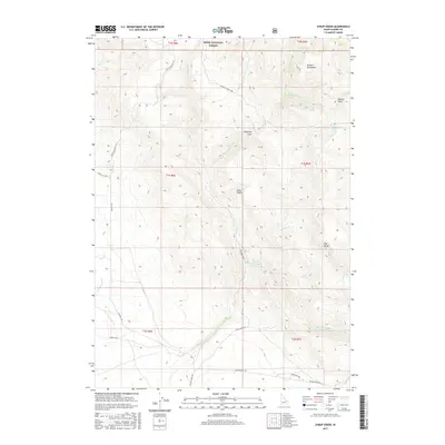
2017 Map of Syrup Creek
USGS Topo · Published 2017About this map
The Danskin Mountains dominate the northeastern portion of this Elmore County landscape, where the Boise National Forest boundary marks a transition into public lands. The terrain is defined by a dense network of drainages and canyons, including the significant Syrup Creek and Long Tom Creek systems. These waterways are flanked by prominent topographical landmarks such as Big Bluff, Dixie Gulch, and Teetors Gulch.
Find a feature on this map
34 named features on this map. Tap any name to fly to it.
Don’t see what you’re looking for? This feature index may not catch every label — zoom into the map to look around manually.
Map Details
Editions of this 2017 Syrup Creek Map
This is the sole edition of this map. No revisions or reprints were ever made.
Other maps of this area

1892 · Mountain Home
USGS Topo · 1:125,000

1893 · Mountain Home
USGS Topo · 1:125,000

1955 · Hailey
USGS Topo · 1:250,000

1956 · Crater Rings
USGS Topo · 1:24,000

1956 · Mountain Home North
USGS Topo · 1:24,000

1956 · Mountain Home
USGS Topo · 1:62,500

1959 · Hailey
USGS Topo · 1:250,000

1960 · Mayfield
USGS Topo · 1:62,500

1960 · Danskin Peak
USGS Topo · 1:62,500

1962 · Hailey
USGS Topo · 1:250,000