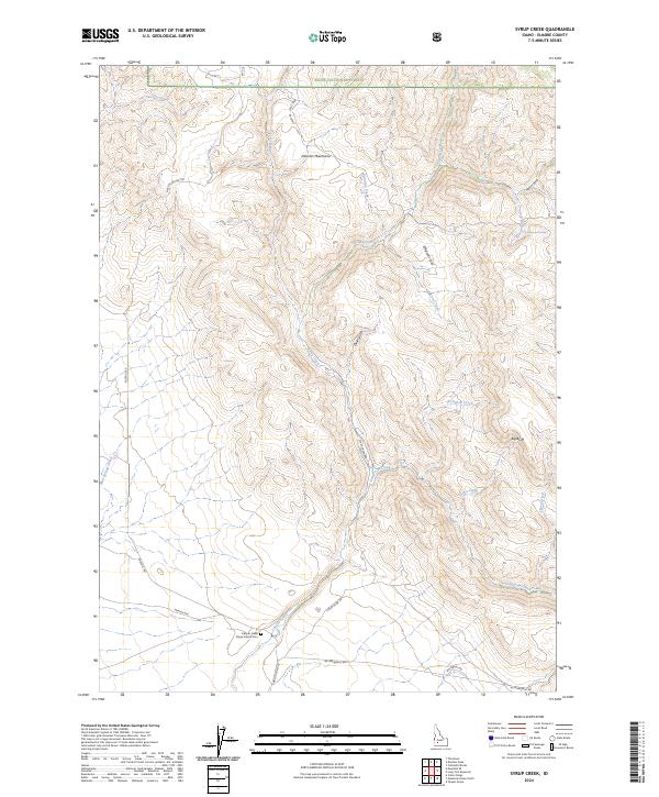
2024 Map of Syrup Creek
USGS Topo · Published 2024About this map
The Canyon Creek Stage Station Cem serves as a silent reminder of the historic transportation corridors that once crossed this part of Elmore County. Located south of the Danskin Mountains, this site is positioned near the junction of several routes, including the NE Immigrant Rd and Syrup Creek Rd, which trace the paths of early travelers through the Idaho territory. The landscape is defined by the complex drainage systems of Syrup Creek and Long Tom Creek, which carve through the southern reaches of the Boise National Forest. Prominent landforms such as Big Bluff and Emigrant Cove highlight the varied topography, while scattered water sources like Cottonwood Springs provided essential points of reprieve in a region characterized by deep gulches and high ridges.
Find a feature on this map
33 named features on this map. Tap any name to fly to it.
Don’t see what you’re looking for? This feature index may not catch every label — zoom into the map to look around manually.
Map Details
Editions of this 2024 Syrup Creek Map
This is the sole edition of this map. No revisions or reprints were ever made.
Other maps of this area

1892 · Mountain Home
USGS Topo · 1:125,000

1893 · Mountain Home
USGS Topo · 1:125,000

1955 · Hailey
USGS Topo · 1:250,000

1956 · Crater Rings
USGS Topo · 1:24,000

1956 · Mountain Home North
USGS Topo · 1:24,000

1956 · Mountain Home
USGS Topo · 1:62,500

1959 · Hailey
USGS Topo · 1:250,000

1960 · Mayfield
USGS Topo · 1:62,500

1960 · Danskin Peak
USGS Topo · 1:62,500

1962 · Hailey
USGS Topo · 1:250,000