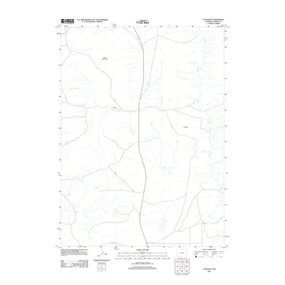
2012 Map of T B Ranch
USGS Topo · Published 2012About this map
T B Ranch and the expansive terrain of Carbon County are documented in this 2012 study of Wyoming’s high-altitude rangeland. The landscape is defined by its drainage network, with Muddy Cr winding through the eastern portion and T B Cr cutting across the central flats. This survey illustrates the sparse, ranch-oriented development of the region, where infrastructure is limited to essential connectors like Oil Springs Rd. Elevation gains are most prominent at Battle Mountain in the northern reaches, overlooking the namesake T B Flats. The presence of several distinct water sources, including Gibson Spring, Cottonwood Cr, and Willow Spring Cr, underscores the critical importance of riparian corridors for livestock and wildlife in this semi-arid environment.
Find a feature on this map
9 named features on this map. Tap any name to fly to it.
Don’t see what you’re looking for? This feature index may not catch every label — zoom into the map to look around manually.
Map Details
Editions of this 2012 T B Ranch Map
This is the sole edition of this map. No revisions or reprints were ever made.
Other maps of this area
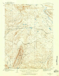
1914 · Saddleback Hills
USGS Topo · 1:62,500
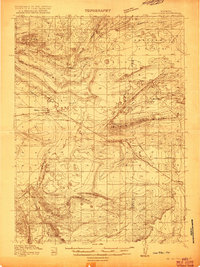
1915 · Como Ridge
USGS Topo · 1:48,000
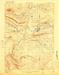
1918 · Como Ridge
USGS Topo · 1:62,500
1921 · Saddleback Hills
USGS Topo · 1:62,500

1954 · Rawlins
USGS Topo · 1:250,000

1955 · Casper
USGS Topo · 1:250,000
1958 · Rawlins
USGS Topo · 1:250,000

1958 · Casper
USGS Topo · 1:250,000
1961 · Walker Draw SE
USGS Topo · 1:24,000
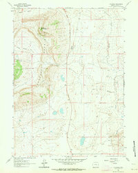
1961 · T B Ranch
USGS Topo · 1:24,000