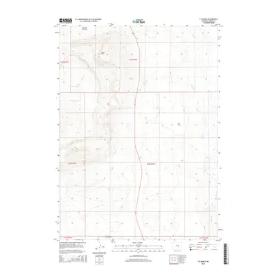
2015 Map of T B Ranch
USGS Topo · Published 2015About this map
T B Ranch serves as a central landmark in this high-plains landscape of Carbon County, where the terrain shifts from the level expanses of T B Flats to the prominent rise of Battle Mtn. The drainage system is defined by numerous seasonal watercourses, including Willow Spring Cr, Cottonwood Cr, and T B Cr, which weave through the township and range divisions. Cultural features are sparse, reflecting the ranching heritage of the region, with Oil Springs Rd providing one of the few named transportation corridors through the area. Local water sources like Gibson Spring and Shearing Pen Draw indicate the historical importance of reliable water for livestock in this arid environment, while the path of Muddy Cr marks the lower elevations on the eastern edge of the survey.
Find a feature on this map
16 named features on this map. Tap any name to fly to it.
Don’t see what you’re looking for? This feature index may not catch every label — zoom into the map to look around manually.
Map Details
Editions of this 2015 T B Ranch Map
This is the sole edition of this map. No revisions or reprints were ever made.
Other maps of this area
1914 · Saddleback Hills
USGS Topo · 1:62,500
1915 · Como Ridge
USGS Topo · 1:48,000
1918 · Como Ridge
USGS Topo · 1:62,500
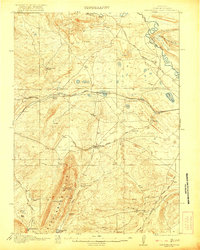
1921 · Saddleback Hills
USGS Topo · 1:62,500

1954 · Rawlins
USGS Topo · 1:250,000

1955 · Casper
USGS Topo · 1:250,000
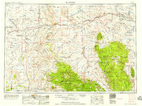
1958 · Rawlins
USGS Topo · 1:250,000

1958 · Casper
USGS Topo · 1:250,000
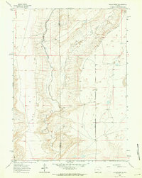
1961 · Walker Draw SE
USGS Topo · 1:24,000
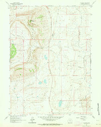
1961 · T B Ranch
USGS Topo · 1:24,000