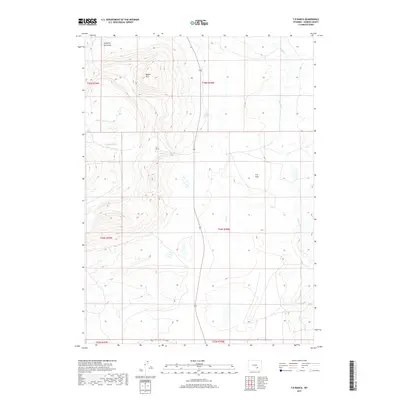
2017 Map of T B Ranch
USGS Topo · Published 2017About this map
Battle Mtn rises above the high desert landscape of Carbon County, anchoring a region defined by its ranching heritage and water-scarce terrain. The namesake T B Ranch sits at the heart of this survey, surrounded by seasonal drainages such as T B Cr and Cottonwood Cr. The map details the drainage patterns and topography surrounding the T B Flats, where the high plains break into series of draws and springs like Gibson Spring. To the south, Oil Springs Rd provides a primary route through the township and range divisions, while Muddy Cr winds through the eastern portion of the quadrangle. This 2017 edition records the modern state of these traditional Wyoming ranch lands, showing the locations of shearing pens and springs that have supported livestock in this arid environment for generations.
Find a feature on this map
16 named features on this map. Tap any name to fly to it.
Don’t see what you’re looking for? This feature index may not catch every label — zoom into the map to look around manually.
Map Details
Editions of this 2017 T B Ranch Map
This is the sole edition of this map. No revisions or reprints were ever made.
Other maps of this area
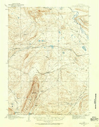
1914 · Saddleback Hills
USGS Topo · 1:62,500
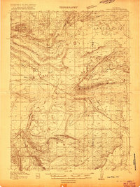
1915 · Como Ridge
USGS Topo · 1:48,000
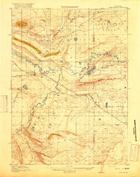
1918 · Como Ridge
USGS Topo · 1:62,500
1921 · Saddleback Hills
USGS Topo · 1:62,500

1954 · Rawlins
USGS Topo · 1:250,000

1955 · Casper
USGS Topo · 1:250,000
1958 · Rawlins
USGS Topo · 1:250,000

1958 · Casper
USGS Topo · 1:250,000
1961 · Walker Draw SE
USGS Topo · 1:24,000
1961 · T B Ranch
USGS Topo · 1:24,000