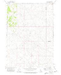
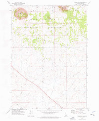
1973 Map of Taber NE
USGS Topo · Published 1977About this map
The Bingham Co and Bonneville Co border runs through this high-desert landscape in the early 1970s, marking a transition between volcanic fields and upland grazing territory. The eastern edge of the quadrangle is defined by a notable expanse of Lava, a stark geological feature that dominates the local topography. This area is characterized by its sparse infrastructure, primarily consisting of remote resources for ranching and transport.
Find a feature on this map
6 named features on this map. Tap any name to fly to it.
Don’t see what you’re looking for? This feature index may not catch every label — zoom into the map to look around manually.
Map Details
Editions of this 1973 Taber NE Map
This is the sole edition of this map. No revisions or reprints were ever made.
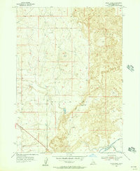
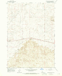
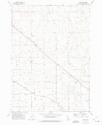
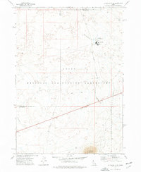
Other maps of this area
1955 · Baldy Knoll
USGS Topo · 1:24,000

1955 · Idaho Falls
USGS Topo · 1:250,000

1958 · Idaho Falls
USGS Topo · 1:250,000
1964 · Kettle Butte SW
USGS Topo · 1:24,000
1973 · Olsen
USGS Topo · 1:24,000
1973 · Middle Butte
USGS Topo · 1:24,000
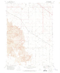
1973 · Taber
USGS Topo · 1:24,000
1973 · Little Butte SW
USGS Topo · 1:24,000
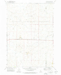
1973 · Little Butte
USGS Topo · 1:24,000

1978 · Blackfoot
USGS Topo · 1:100,000