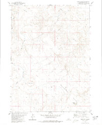
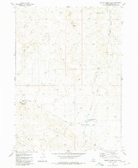
1980 Map of Table Butte
USGS Topo · Published 1980About this map
Table Butte stands as a prominent landmark in this high-elevation corner of Owyhee County, surveyed by the Geological Survey during the mid-1970s. The landscape is defined by the broad, high reaches of Big Hill and the arid expanse of the Blackstone Desert to the southeast. Water is scarce in this portion of the Idaho high country, with drainage primarily channeled through the winding course of Sugar Creek. In the southern portion of the quadrangle, Fivemile Lake provides a rare catchment in an otherwise dry environment. The mapping reveals a land largely without permanent settlement, instead crisscrossed by a network of rudimentary transportation routes labeled simply as Trail or Jeep Trail, indicating the area's primary use for ranching or remote access during this era.
Find a feature on this map
7 named features on this map. Tap any name to fly to it.
Don’t see what you’re looking for? This feature index may not catch every label — zoom into the map to look around manually.
Map Details
Editions of this 1980 Table Butte Map
This is the sole edition of this map. No revisions or reprints were ever made.
Other maps of this area

1955 · Twin Falls
USGS Topo · 1:250,000

1956 · Big Hill
USGS Topo · 1:62,500

1956 · Winter Camp
USGS Topo · 1:62,500

1958 · Twin Falls
USGS Topo · 1:250,000

1979 · Blackstone Reservoir
USGS Topo · 1:24,000

1979 · Cave Draw
USGS Topo · 1:24,000
1979 · Grasmere
USGS Topo · 1:24,000
1980 · Austin Butte
USGS Topo · 1:24,000
1980 · Hole In Rock
USGS Topo · 1:24,000
1980 · Broken Wagon Flat
USGS Topo · 1:24,000