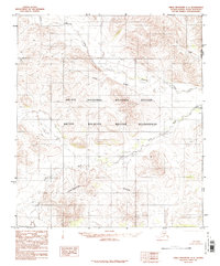
1983 Map of Table Mountain C-1
USGS Topo · Published 1984About this map
Continental Divide crests across this northern landscape, marking the hydrological split in the high latitudes of the Arctic National Wildlife Refuge. Published in the early 1980s from mid-1970s aerial photography, the map reveals a wilderness devoid of roads or permanent settlements, defined instead by the drainage patterns of the Firth River and its tributaries like Mancha Creek and You Creek. The eastern edge of the quadrangle serves as the international boundary, labeled both as the Alaska Yukon and United States Canada border. This provisional survey provides a precise look at the terrain within the Arctic Wildlife Refuge Wilderness, where elevation contours and watercourses are the primary landmarks for navigation and land management.
Find a feature on this map
8 named features on this map. Tap any name to fly to it.
Don’t see what you’re looking for? This feature index may not catch every label — zoom into the map to look around manually.
Map Details
Editions of this 1983 Table Mountain C-1 Map
This is the sole edition of this map. No revisions or reprints were ever made.
Other maps of this area

1951 · Table Mountain
USGS Topo · 1:250,000

1956 · Table Mountain
USGS Topo · 1:250,000

1964 · Table Mountain
USGS Topo · 1:250,000
1972 · Table Mountain B-1
USGS Topo · 1:63,360
1972 · Table Mountain B-2
USGS Topo · 1:63,360

1983 · Table Mountain D-2
USGS Topo · 1:63,360

1983 · Table Mountain D-1
USGS Topo · 1:63,360
1983 · Table Mountain C-2
USGS Topo · 1:63,360
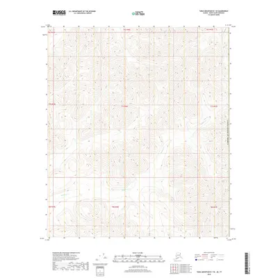
2018 · Table Mountain D-1 SE
USGS Topo · 1:25,000
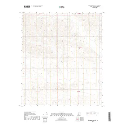
2018 · Table Mountain D-2 SE
USGS Topo · 1:25,000