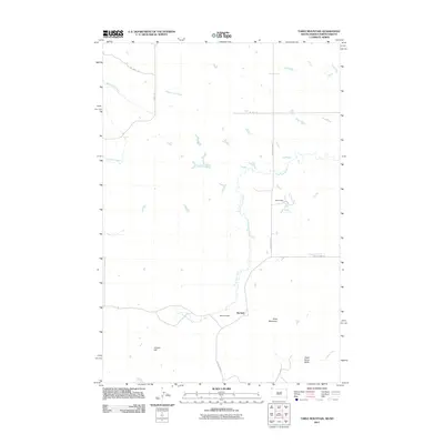
2011 Map of Table Mountain
USGS Topo · Published 2011About this map
Karinen sits at the junction of several rural routes in this corner of Harding County, South Dakota. The landscape is defined by its water management and distinct elevations, featuring the broad rise of Table Mountain and Dead Horse Butte. The local drainage network is extensive, with Lone Tree Creek meandering through the central plains and Sevenmile Creek cutting across the northwest corner. This area shows a typical Great Plains reliance on earthen water structures, such as Hanson Dam and Road Dam, which support the livestock and agricultural operations of the high prairie. Infrastructure is sparse but vital, represented by named routes like Oil Well Rd and various county highways that connect isolated ranch sites and landmarks like Cooper Hill. The map provides a detailed view of the rural township system and the intricate hydrology of the region, including smaller tributaries like Fivemile Creek and Crooked Creek.
Find a feature on this map
16 named features on this map. Tap any name to fly to it.
Don’t see what you’re looking for? This feature index may not catch every label — zoom into the map to look around manually.
Map Details
Editions of this 2011 Table Mountain Map
This is the sole edition of this map. No revisions or reprints were ever made.
Other maps of this area

1935 · Buffalo
USGS Topo · 1:125,000

1953 · Dickinson
USGS Topo · 1:250,000

1954 · Lemmon
USGS Topo · 1:250,000

1957 · Dickinson
USGS Topo · 1:250,000

1957 · Lemmon
USGS Topo · 1:250,000

1969 · Ladner NE
USGS Topo · 1:24,000

1969 · Table Mountain
USGS Topo · 1:24,000

1969 · Ladner
USGS Topo · 1:24,000

1969 · Ladner SE
USGS Topo · 1:24,000

1973 · Camel Butte
USGS Topo · 1:24,000