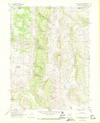
1967 Map of Table Mountain
USGS Topo · Published 1971About this map
Table Mountain stands as a prominent landmark at the center of this high-country landscape along the border of Colorado and Wyoming. The terrain is defined by deep incisions like Slab Canyon and Sand Canyon, where the drainage of Boxelder Creek and Sand Creek carves through the plateau. In the late 1960s, this area remained largely open rangeland, marked by isolated outposts such as Russell Camp, Hale Camp, and L R Camp. Evidence of human activity is sparse but specific, including a Pipeline cutting across the eastern slopes and scattered Quarry sites. The mapping of the Laramie Co Larimer Co line reveals the intersection of these two states, while family-named sites like the Munroe Ranch and Maxwell provide clear points of reference for local historians and genealogists studying the mid-century ranching footprint of the region.
Find a feature on this map
24 named features on this map. Tap any name to fly to it.
Don’t see what you’re looking for? This feature index may not catch every label — zoom into the map to look around manually.
Map Details
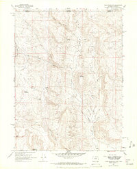
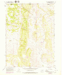
Editions of this 1967 Table Mountain Map
3 editions found
Other maps of this area

1905 · Sherman
USGS Topo · 1:125,000

1907 · Livermore
USGS Topo · 1:125,000

1909 · Livermore
USGS Topo · 1:125,000

1948 · Sherman Mountains
USGS Topo · 1:62,500

1950 · Sherman Mountains
USGS Topo · 1:62,500

1954 · Cheyenne
USGS Topo · 1:250,000

1954 · Greeley
USGS Topo · 1:250,000

1957 · Greeley
USGS Topo · 1:250,000

1958 · Cheyenne
USGS Topo · 1:250,000

1958 · Greeley
USGS Topo · 1:250,000