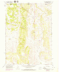
1967 Map of Table Mountain
USGS Topo · Published 1979About this map
The Wyoming and Colorado borderlands meet along this topographic survey, where Boxelder Creek and Sand Creek carve through high-elevation terrain. This transition zone is defined by dramatic landforms such as Sheep Mountain, Big Hole, and Table Mountain, while the southern reaches of the map include distinctive landmarks like Red Nose and Steamboat Rock. Human presence in this high country is marked by seasonal or livestock operations, including Russell Camp, Hole Camp, and L R Camp near the northern boundary. Settlement patterns are sparse, focusing on rural holdings like Munroe Ranch and the locality of Maxwell. Economic activity is evidenced by several Quarry sites and a prominent Pipeline that traverses the landscape. A network of unimproved dirt roads and light-duty routes, including Granite Canyon Rd, connects these remote outposts across the state line.
Find a feature on this map
24 named features on this map. Tap any name to fly to it.
Don’t see what you’re looking for? This feature index may not catch every label — zoom into the map to look around manually.
Map Details
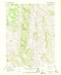
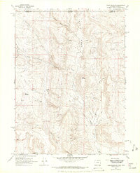
Editions of this 1967 Table Mountain Map
3 editions found
Other maps of this area

1905 · Sherman
USGS Topo · 1:125,000

1907 · Livermore
USGS Topo · 1:125,000

1909 · Livermore
USGS Topo · 1:125,000

1948 · Sherman Mountains
USGS Topo · 1:62,500

1950 · Sherman Mountains
USGS Topo · 1:62,500

1954 · Cheyenne
USGS Topo · 1:250,000

1954 · Greeley
USGS Topo · 1:250,000

1957 · Greeley
USGS Topo · 1:250,000

1958 · Cheyenne
USGS Topo · 1:250,000

1958 · Greeley
USGS Topo · 1:250,000