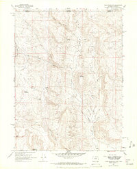
1967 Map of Table Mountain
USGS Topo · Published 1971About this map
Russell Camp and Hole Camp sit near the northern border of this 1960s survey, marking a landscape of remote ranching and natural landmarks along the Colorado and Wyoming state line. The terrain is defined by deep incisions like Haygood Canyon and Slab Canyon Wash, while prominent elevations like Sheep Mountain, Steamboat Rock, and the curious Red Nose provide clear navigational points across the high country. Water remains a central theme for those living on the land, evidenced by the many Spring and Springs labels and the presence of a Water Tank and Munroe Ranch in the south.
Find a feature on this map
25 named features on this map. Tap any name to fly to it.
Don’t see what you’re looking for? This feature index may not catch every label — zoom into the map to look around manually.
Map Details
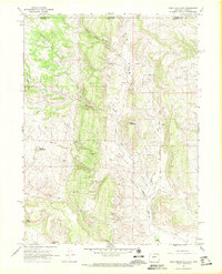
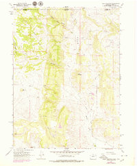
Editions of this 1967 Table Mountain Map
3 editions found
Other maps of this area

1905 · Sherman
USGS Topo · 1:125,000

1907 · Livermore
USGS Topo · 1:125,000

1909 · Livermore
USGS Topo · 1:125,000

1948 · Sherman Mountains
USGS Topo · 1:62,500

1950 · Sherman Mountains
USGS Topo · 1:62,500

1954 · Cheyenne
USGS Topo · 1:250,000

1954 · Greeley
USGS Topo · 1:250,000

1957 · Greeley
USGS Topo · 1:250,000

1958 · Cheyenne
USGS Topo · 1:250,000

1958 · Greeley
USGS Topo · 1:250,000