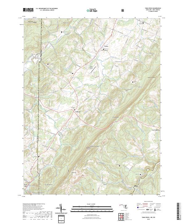
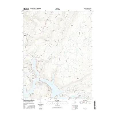
2023 Map of Table Rock
USGS Topo · Published 2023About this map
The Allegheny Mountains define the high terrain of Garrett County, where the headwaters of two major river systems part ways. Along the western edge, the Youghiogheny River flows northward toward the Ohio Valley, while the North Branch Potomac River emerges in the southeast near Wilson. This high plateau is characterized by wide clearings like Pleasant Valley and prominent peaks such as Backbone Mountain and Conneway Hill.
Find a feature on this map
110 named features on this map. Tap any name to fly to it.
Don’t see what you’re looking for? This feature index may not catch every label — zoom into the map to look around manually.
Map Details
Editions of this 2023 Table Rock Map
This is the sole edition of this map. No revisions or reprints were ever made.
Historical Maps of Silver Lake Through Time
40 maps found
1947 Avilton
Garrett County, MD
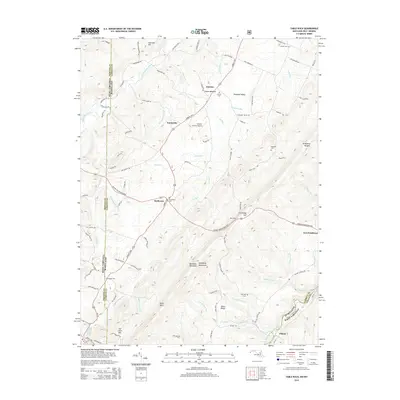
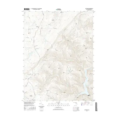
1947 Bittinger
Garrett County, MD
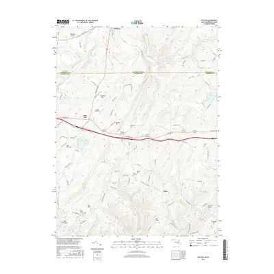
1947 McHenry
Garrett County, MD
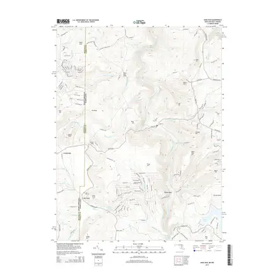
1947 Sang Run
Garrett County, MD
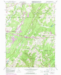
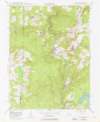
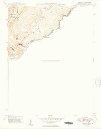
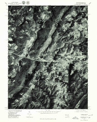
1948 Table Rock
Garrett County, MD
1949 Avilton
Garrett County, MD
1949 Bittinger
Garrett County, MD
1949 Kempton
Garrett County, MD
1949 McHenry
Garrett County, MD
1949 Sang Run
Garrett County, MD
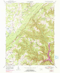
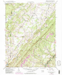
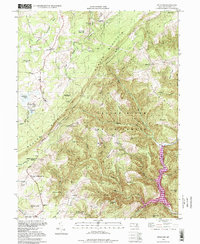
1949 Table Rock
Garrett County, MD
1977 Avilton
Garrett County, MD
1994 Bittinger
Garrett County, MD
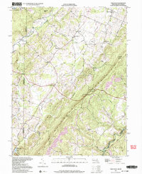
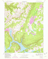
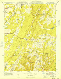
1997 Table Rock
Garrett County, MD
1999 Sang Run
Garrett County, MD
2011 Avilton
Garrett County, MD
2011 Bittinger
Garrett County, MD
2011 McHenry
Garrett County, MD
2011 Sang Run
Garrett County, MD
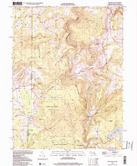
2011 Table Rock
Garrett County, MD
2014 Avilton
Garrett County, MD
2014 Bittinger
Garrett County, MD
2014 McHenry
Garrett County, MD
2014 Sang Run
Garrett County, MD
2014 Table Rock
Garrett County, MD
2016 Avilton
Garrett County, MD
2016 Bittinger
Garrett County, MD
2016 McHenry
Garrett County, MD
2016 Sang Run
Garrett County, MD
2016 Table Rock
Garrett County, MD
2019 Avilton
Garrett County, MD
2019 Bittinger
Garrett County, MD
2019 McHenry
Garrett County, MD
2019 Sang Run
Garrett County, MD
2019 Table Rock
Garrett County, MD
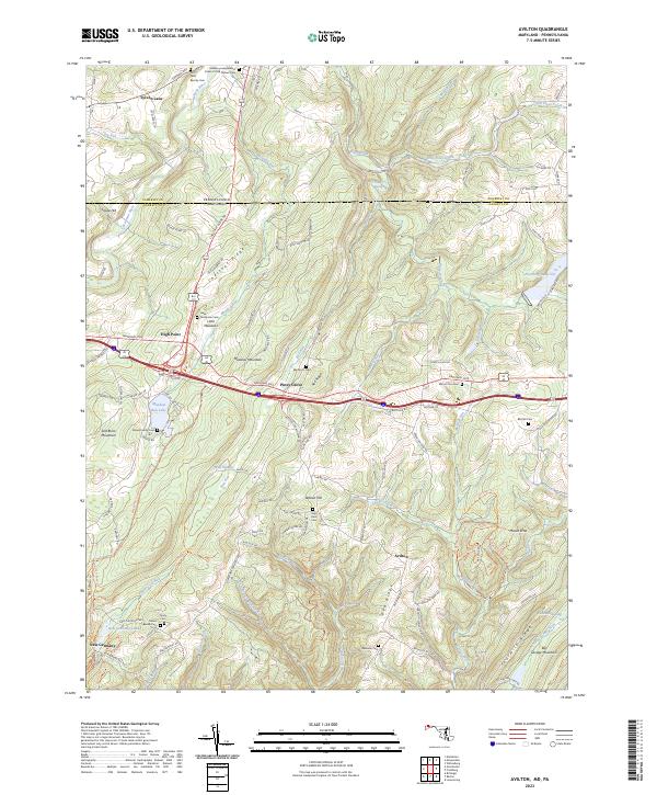
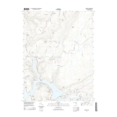
2023 Avilton
Garrett County, MD
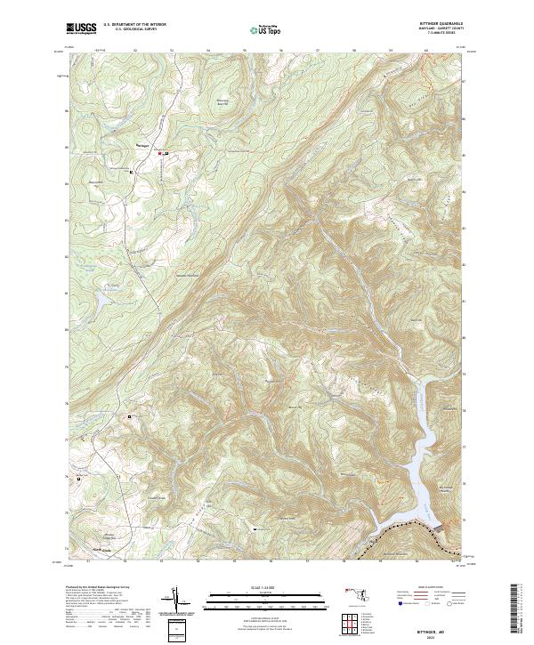
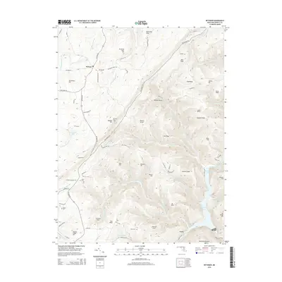
2023 Bittinger
Garrett County, MD
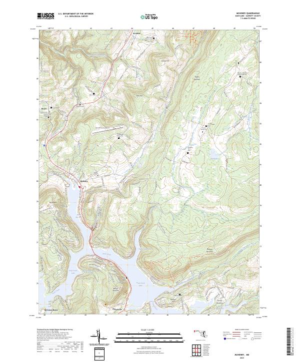
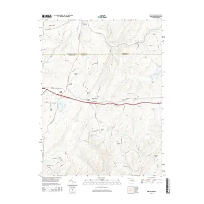
2023 McHenry
Garrett County, MD
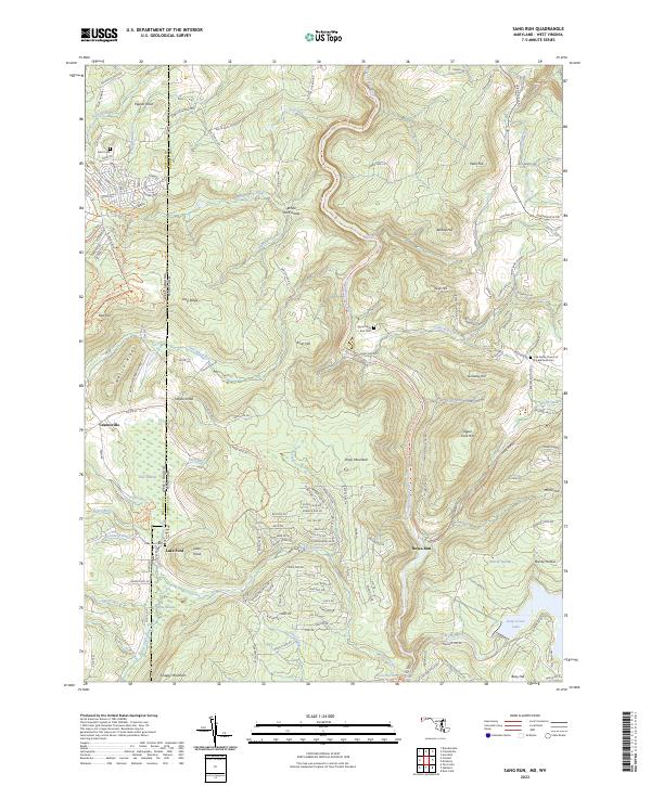
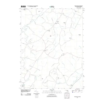
2023 Sang Run
Garrett County, MD
2023 Table Rock
Garrett County, MD