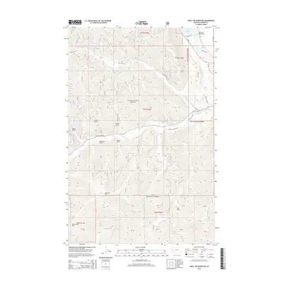
2014 Map of Table Top Mountain
USGS Topo · Published 2014About this map
Noxon Reservoir and the Clark Fork River Bridge dominate the northeast corner of this terrain, where the landscape transitions from the river valley into the high elevations of the Lolo National Forest. This 2014 survey records a network of mountain roads and gulches that define the area's geography, including Foster Gulch, Shorty Gulch, and Table Top Gulch. The elevation peaks at Table Top Mtn and Hill Seven, while drainage patterns are defined by the Prospect Cr and Wilkes Cr systems. The map illustrates a modern era of forest management and transit, with MT-200 and Prospect Creek Rd providing primary access through the mountain passes, including the notable Daisy Creek Pass on the western boundary.
Find a feature on this map
39 named features on this map. Tap any name to fly to it.
Don’t see what you’re looking for? This feature index may not catch every label — zoom into the map to look around manually.
Map Details
Editions of this 2014 Table Top Mountain Map
This is the sole edition of this map. No revisions or reprints were ever made.
Other maps of this area

1914 · Avery
USGS Topo · 1:125,000

1917 · Avery
USGS Topo · 1:125,000

1918 · St Regis
USGS Topo · 1:125,000

1919 · St. Regis
USGS Topo · 1:125,000

1932 · Trout Creek
USGS Topo · 1:125,000

1935 · Trout Creek
USGS Topo · 1:125,000

1936 · Trout Creek
USGS Topo · 1:125,000

1937 · Thompson Falls
USGS Topo · 1:125,000

1937 · Thompson Falls
USGS Topo · 1:62,500

1956 · Cooper Gulch
USGS Topo · 1:62,500