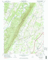
1972 Map of Tablers Station
USGS Topo · Published 1984About this map
North Mountain forms a dramatic central spine through this West Virginia landscape, separating the winding course of Back Creek from the developing industrial corridor to the east. By the early 1970s, the eastern portion of the map shows a landscape in transition, where the Penn Central railroad serves rural hubs like Tablers Station and Darkesville. This area is dotted with foundational community landmarks, including the Valley View Sch and several country sanctuaries such as Salem Ch and Tuscarora Ch. To the west, the terrain remains predominantly rural and wooded, anchored by Jones Springs and the protected grounds of the Sleepy Creek Public Hunting and Fishing Area. The presence of numerous family-named landmarks like Pritzers Chapel and Boyds Gap provides specific geographic markers for those tracing the historical footprint of Berkeley County families.
Find a feature on this map
46 named features on this map. Tap any name to fly to it.
Don’t see what you’re looking for? This feature index may not catch every label — zoom into the map to look around manually.
Map Details
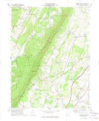
Editions of this 1972 Tablers Station Map
2 editions found
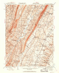
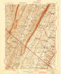
Historical Maps of Martinsburg Through Time
9 maps found

1914 Gerrardstown
Berkeley County, WV

1916 Gerrardstown
Berkeley County, WV
1937 Gerrardstown
Berkeley County, WV
1943 Gerrardstown
Berkeley County, WV
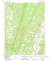
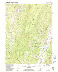
1965 Glengary
Berkeley County, WV
1972 Tablers Station
Berkeley County, WV
1996 Glengary
Berkeley County, WV
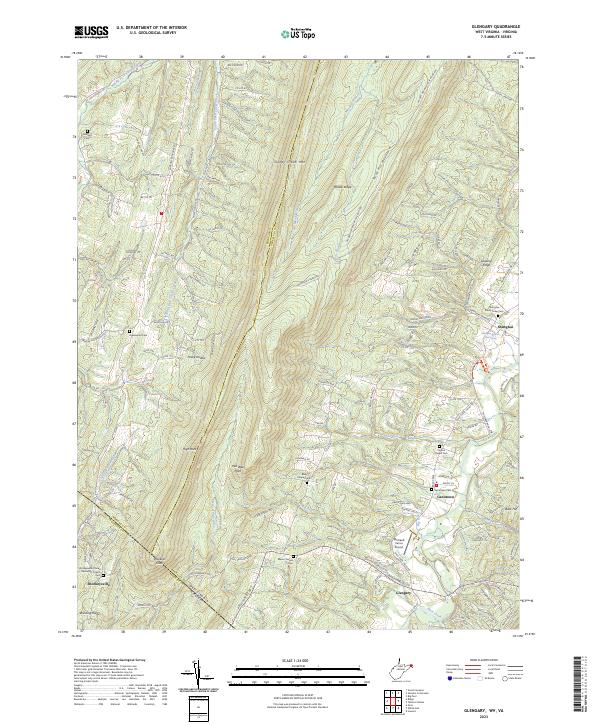
2023 Glengary
Berkeley County, WV
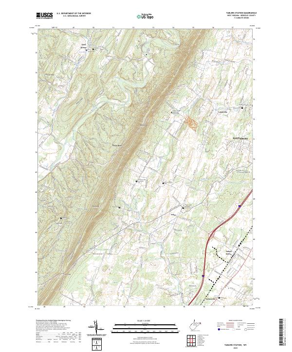
2023 Tablers Station
Berkeley County, WV