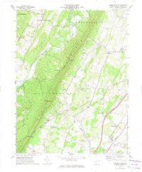
1972 Map of Tablers Station
USGS Topo · Published 1974About this map
North Mountain dominates this portion of Berkeley County, creating a sharp geological divide between the agricultural lowlands to the east and the ridges of Leading Ridge to the west. In the early 1970s, the Penn Central railroad served as a vital corridor for the eastern valley, connecting Tablers Station and the settlement of Darkesville. The landscape reveals a dense network of local landmarks, including Valley View Sch and numerous country congregations like Pitzers Chapel and Salem Ch.
Find a feature on this map
46 named features on this map. Tap any name to fly to it.
Don’t see what you’re looking for? This feature index may not catch every label — zoom into the map to look around manually.
Map Details
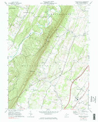
Editions of this 1972 Tablers Station Map
2 editions found
Other maps of this area

1884 · Harpers Ferry
USGS Topo · 1:125,000

1891 · Harpers Ferry
USGS Topo · 1:125,000

1893 · Harpers Ferry
USGS Topo · 1:125,000

1894 · Winchester
USGS Topo · 1:125,000

1899 · Hancock
USGS Topo · 1:62,500

1901 · Hancock
USGS Topo · 1:62,500

1912 · Williamsport
USGS Topo · 1:62,500

1914 · Martinsburg
USGS Topo · 1:48,000

1914 · Gerrardstown
USGS Topo · 1:48,000

1916 · Gerrardstown
USGS Topo · 1:62,500