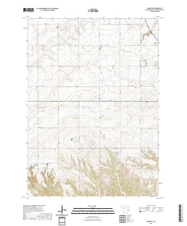
2021 Map of Tabor NE
USGS Topo · Published 2021About this map
Utica sits at the northeastern edge of this landscape in Yankton County, where the plains are etched by the winding paths of Beaver Cr, Charley Cr, and Marne Cr. The settlement pattern here is deeply tied to the land's agricultural history, marked by a high density of small rural burial grounds that speak to the area's ethnic heritage. Significant sites for genealogical research include the Cesko Narodni Hrbitov (Bohemian National Cemetery), reflecting the region's Czech settlement, alongside the Polish Cem, Nedved Cem, Lakeport Cem, and Elm Grove Cem. The map shows a transition from the structured section lines of the northern plains to the more varied topography in the south near the Missouri River breaks, where roads like Spring Meadow Rd and Valley View Rd follow the contours of the rising bluffs.
Find a feature on this map
32 named features on this map. Tap any name to fly to it.
Don’t see what you’re looking for? This feature index may not catch every label — zoom into the map to look around manually.
Map Details
Editions of this 2021 Tabor NE Map
This is the sole edition of this map. No revisions or reprints were ever made.
Other maps of this area

1898 · Olivet
USGS Topo · 1:125,000

1898 · Parker
USGS Topo · 1:125,000

1955 · Sioux City
USGS Topo · 1:250,000

1955 · Sioux Falls
USGS Topo · 1:250,000

1957 · Jamesville
USGS Topo · 1:24,000

1958 · Sioux City
USGS Topo · 1:250,000

1958 · Sioux Falls
USGS Topo · 1:250,000

1959 · Sioux City
USGS Topo · 1:250,000

1968 · Tabor SE
USGS Topo · 1:24,000

1968 · Gavins Point Dam
USGS Topo · 1:24,000