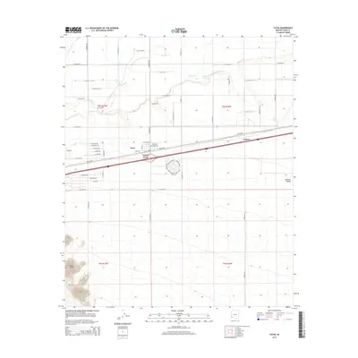
2014 Map of Tacna
USGS Topo · Published 2014About this map
Agricultural development in the desert floor defines this Yuma County landscape, where the Gila River provides a lifeline for the surrounding arid terrain. The small community of Tacna serves as the central hub of activity, closely flanked by the settlements of Tanque and Aloma. These towns are anchored by Old US-80, reflecting the historical importance of the highway system in the Arizona desert. To the east, the settlement of Colfred sits near the Colfred Floodway and Mohawk Wash, highlighting the critical role of water management in the Mohawk Valley. To the southwest, the distinctive high points of Baker Peaks rise sharply, providing a stark vertical contrast to the grid-like pattern of rural roads and irrigation-dependent fields. The network of roads, including Gila Levee Rd and numbered avenues, illustrates the systematic division of land for farming and transport between the river and the mountains.
Find a feature on this map
56 named features on this map. Tap any name to fly to it.
Don’t see what you’re looking for? This feature index may not catch every label — zoom into the map to look around manually.
Map Details
Editions of this 2014 Tacna Map
This is the sole edition of this map. No revisions or reprints were ever made.
Other maps of this area
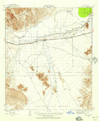
1926 · Wellton
USGS Topo · 1:62,500
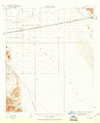
1926 · Mohawk
USGS Topo · 1:62,500
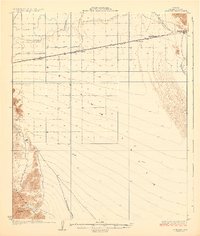
1928 · Mohawk
USGS Topo · 1:62,500
1928 · Norton
USGS Topo · 1:62,500
1929 · Wellton
USGS Topo · 1:62,500
1929 · Norton
USGS Topo · 1:62,500
1942 · Yuma
USGS Topo · 1:250,000
1953 · Ajo
USGS Topo · 1:250,000
1954 · El Centro
USGS Topo · 1:250,000
1955 · El Centro
USGS Topo · 1:250,000