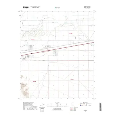
2018 Map of Tacna
USGS Topo · Published 2018About this map
Tacna sits at a critical junction of desert transportation and irrigation history, where the Union Pacific Railroad and Interstate 8 parallel the ancient course of the Gila River. The landscape is a study in desert water management, featuring the engineered path of the Mohawk Canal and the Colfred Floodway, which protect the small settlements of Tacna and Colfred from the erratic flows of the Mohawk Wash. In the southwestern corner, the terrain shifts abruptly from the flat agricultural expanses of the Mohawk Valley to the sharp elevation of the Baker Peaks. This 2018 survey captures the precise layout of local access roads such as Gila Levee Rd and E Mohawk Canal Rd, providing a clear view of how human habitation is structured around these vital water and transit corridors.
Find a feature on this map
64 named features on this map. Tap any name to fly to it.
Don’t see what you’re looking for? This feature index may not catch every label — zoom into the map to look around manually.
Map Details
Editions of this 2018 Tacna Map
This is the sole edition of this map. No revisions or reprints were ever made.
Other maps of this area
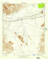
1926 · Wellton
USGS Topo · 1:62,500
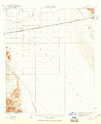
1926 · Mohawk
USGS Topo · 1:62,500
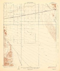
1928 · Mohawk
USGS Topo · 1:62,500
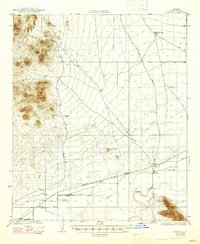
1928 · Norton
USGS Topo · 1:62,500
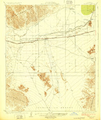
1929 · Wellton
USGS Topo · 1:62,500
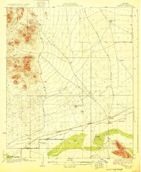
1929 · Norton
USGS Topo · 1:62,500
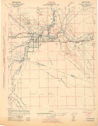
1942 · Yuma
USGS Topo · 1:250,000
1953 · Ajo
USGS Topo · 1:250,000
1954 · El Centro
USGS Topo · 1:250,000
1955 · El Centro
USGS Topo · 1:250,000