Loading...
Loading map...2021 Map of Tacna
USGS Topo · Published 2021About this map
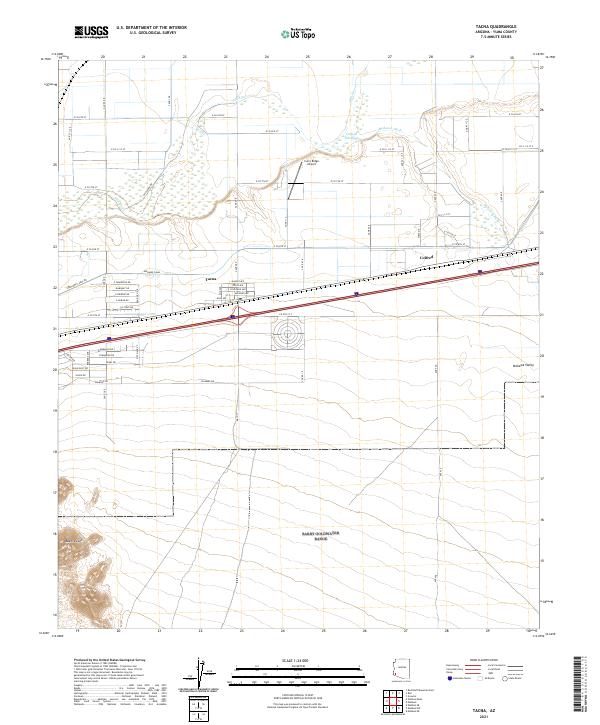
Tacna and the small siding of Colfred anchor this agricultural and desert landscape in the Mohawk Valley. The infrastructure of the lower Gila River valley is on full display, centered on the Mohawk Canal which parallels the Southern Pacific rail corridor and the interstate. The northern portion of the map is dominated by the braided channels of the Gila River and the engineered Colfred Floodway, designed to manage seasonal flows and protect the irrigation works from the Mohawk Wash.
Find a feature on this map
56 named features on this map. Tap any name to fly to it.
Don’t see what you’re looking for? This feature index may not catch every label — zoom into the map to look around manually.
Map Details
Date Portrayed2021
Date Published2021
PublisherU.S. Geological Survey
Map TypeTopographic
Scale1:24000
Physical Dimensions24 x 29 inches
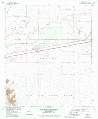
Editions of this 2021 Tacna Map
This is the sole edition of this map. No revisions or reprints were ever made.
Historical Maps of Citrus Commercial Park Through Time
Featured Locations
Source Details
SourceU.S. Geological Survey
CopyrightPublic Domain