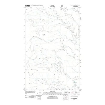
2011 Map of Tacoma Peak
USGS Topo · Published 2011About this map
Tacoma Peak and the high ridges of the Selkirk Mountains define this landscape in the northern panhandle of Washington. The 2011 survey reveals an intricate network of forest and mountain roads, including Trimble Creek Rd and Tacoma Creek Rd, which provide access to the drainages of Tacoma Creek and Calispell Peak Creek. The terrain is punctuated by distinctive local landmarks with colorful names like Dirty Shirt and Fourth of July Mountain, reflecting the area's history of backcountry navigation and exploration.
Find a feature on this map
21 named features on this map. Tap any name to fly to it.
Don’t see what you’re looking for? This feature index may not catch every label — zoom into the map to look around manually.
Map Details
Editions of this 2011 Tacoma Peak Map
This is the sole edition of this map. No revisions or reprints were ever made.
Other maps of this area

1927 · Chewelah
USGS Topo · 1:125,000

1929 · Colville
USGS Topo · 1:125,000

1930 · Chewelah
USGS Topo · 1:125,000

1933 · Colville
USGS Topo · 1:125,000

1934 · Metaline
USGS Topo · 1:125,000

1936 · Newport
USGS Topo · 1:96,000

1942 · Metaline
USGS Topo · 1:125,000

1942 · Newport
USGS Topo · 1:125,000

1958 · Sandpoint
USGS Topo · 1:250,000

1963 · Sandpoint
USGS Topo · 1:250,000