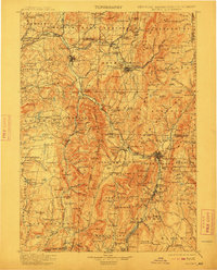
1900 Map of Taconic
USGS Topo · Published 1912About this map
The Hoosick River valley serves as the industrial and transit corridor for this three-state borderland, where the Fitchburg R.R. and Rutland R.R. navigate the high terrain of the Green Mountains and Taconic Range. Heavy industry and early manufacturing are centered at Hoosick Falls, North Bennington, and the aptly named Paper Mill Village, while the massive engineering feat of the Hoosac Tunnel pierces the mountains near the Vermont-Massachusetts line.
Find a feature on this map
218 named features on this map. Tap any name to fly to it.
Don’t see what you’re looking for? This feature index may not catch every label — zoom into the map to look around manually.
Map Details
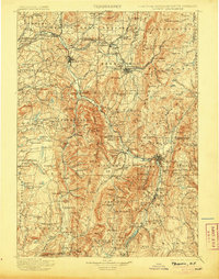
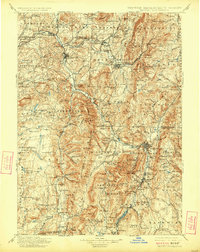
Editions of this 1900 Taconic Map
4 editions found

Other maps of this area

1886 · Greylock
USGS Topo · 1:62,500

1886 · Hawley
USGS Topo · 1:62,500

1886 · Chesterfield
USGS Topo · 1:62,500

1886 · Becket
USGS Topo · 1:62,500

1888 · Becket
USGS Topo · 1:62,500

1888 · Berlin
USGS Topo · 1:62,500

1888 · Chesterfield
USGS Topo · 1:62,500

1888 · Pittsfield
USGS Topo · 1:62,500

1889 · Wilmington
USGS Topo · 1:62,500

1890 · Hawley
USGS Topo · 1:62,500