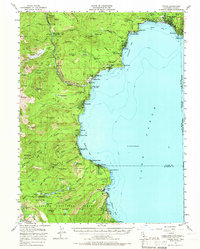
1955 Map of Tahoe
USGS Topo · Published 1966About this map
Lake Tahoe dominates this mid-century survey, its western shoreline bustling with mid-century development from Kings Beach and Tahoe Vista in the north down to Tahoma and Meeks Bay. The landscape shows a region transitioning into a premier recreation destination, evidenced by the Brockway Golf Course and numerous lodges like Tahoe Tavern and Chambers Lodge. Beyond the immediate waterfront, the terrain rises sharply toward the Tahoe National Forest and Eldorado National Forest, where the Truckee River begins its descent from Tahoe City.
Find a feature on this map
97 named features on this map. Tap any name to fly to it.
Don’t see what you’re looking for? This feature index may not catch every label — zoom into the map to look around manually.
Map Details
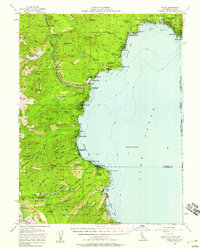
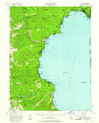
Editions of this 1955 Tahoe Map
3 editions found
Other maps of this area

1889 · Pyramid Peak
USGS Topo · 1:125,000

1889 · Markleeville
USGS Topo · 1:125,000

1891 · Carson
USGS Topo · 1:125,000

1891 · Markleeville
USGS Topo · 1:125,000

1891 · Truckee
USGS Topo · 1:125,000

1891 · Pyramid Peak
USGS Topo · 1:125,000

1893 · Carson
USGS Topo · 1:125,000

1893 · Markleeville
USGS Topo · 1:125,000

1893 · Truckee
USGS Topo · 1:125,000

1895 · Pyramid Peak
USGS Topo · 1:125,000