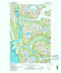
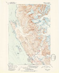
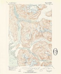
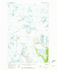
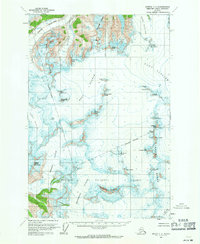
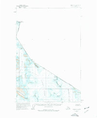
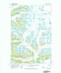
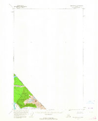
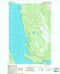
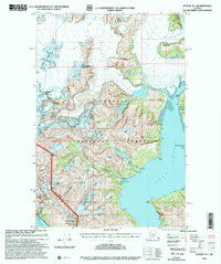
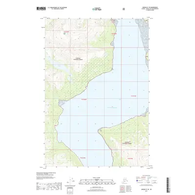
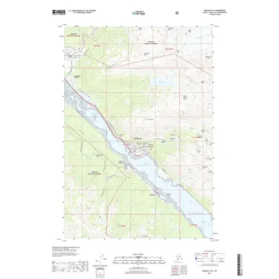
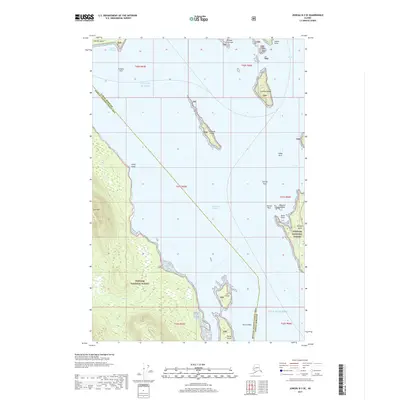
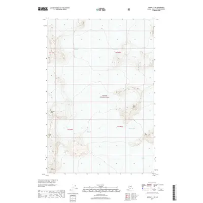
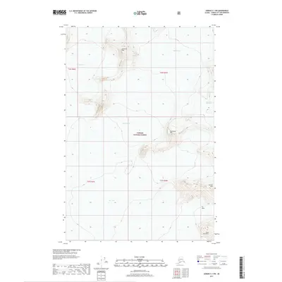
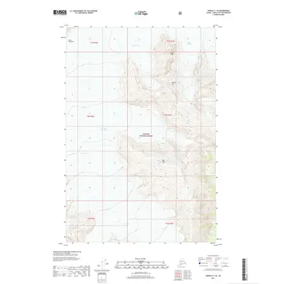
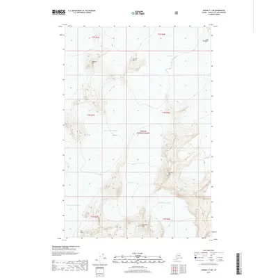
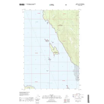
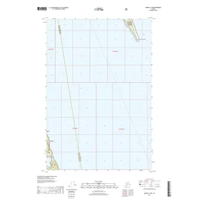
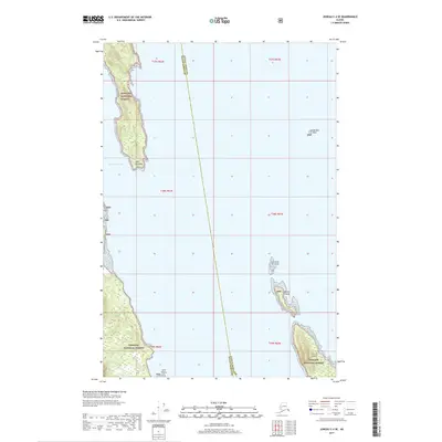
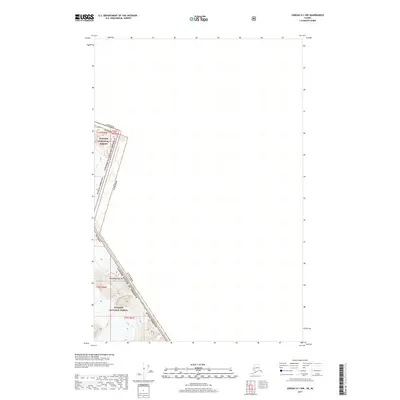
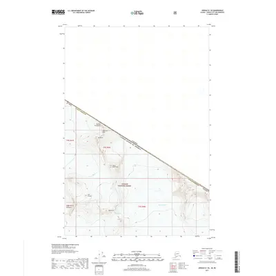
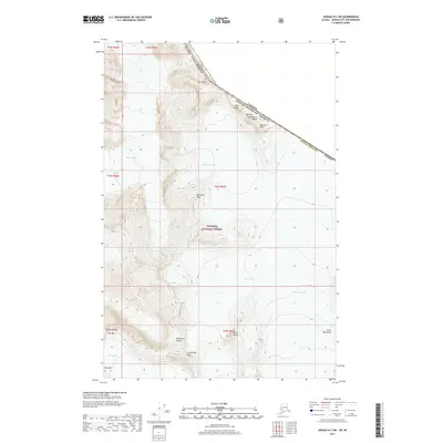
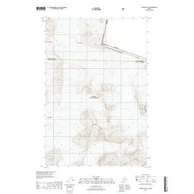
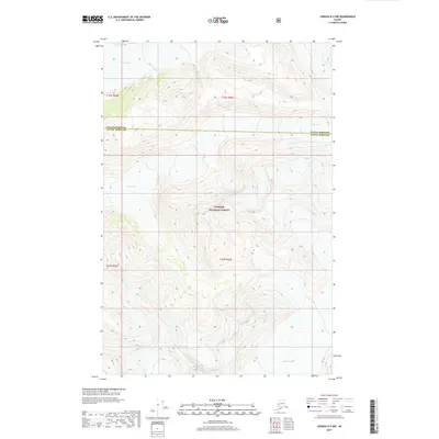
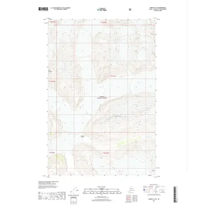
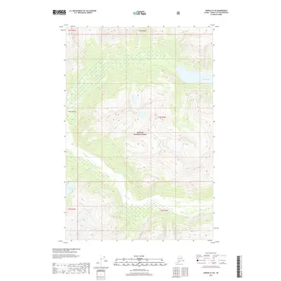
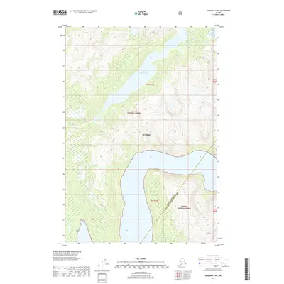
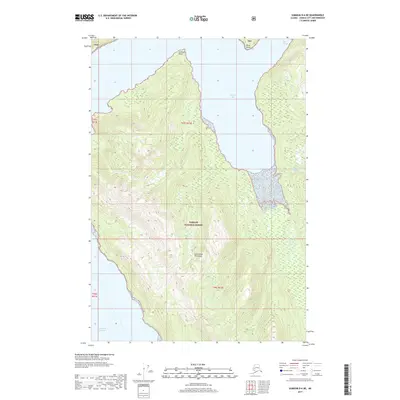
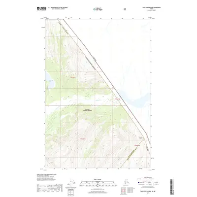
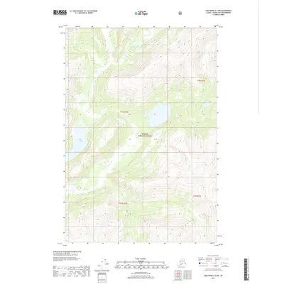
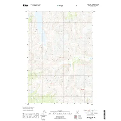
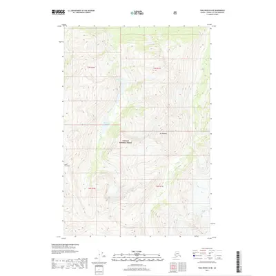
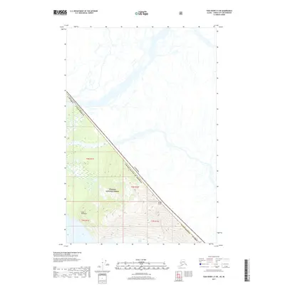
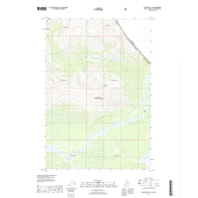
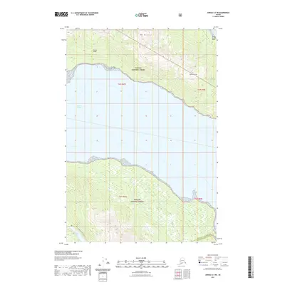
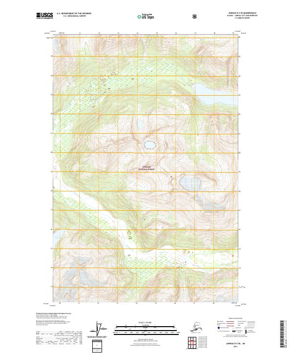
1996 Map of Taku River A-5
USGS Topo · Published 2000About this map
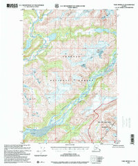
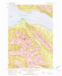
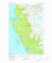
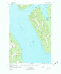
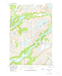
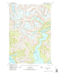
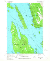
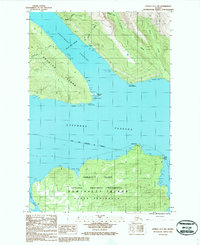
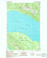
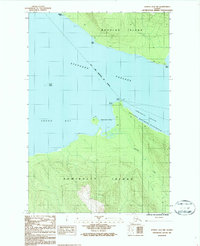
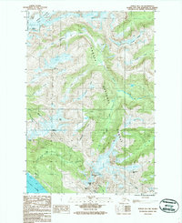
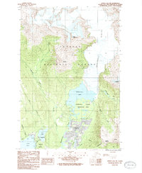
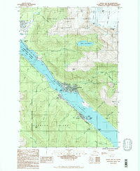
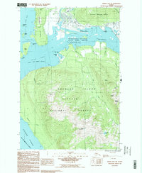
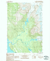
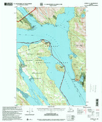
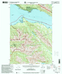
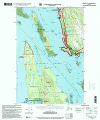
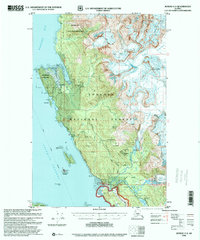
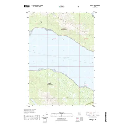
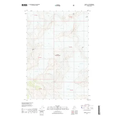
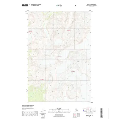
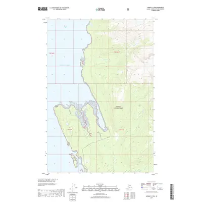
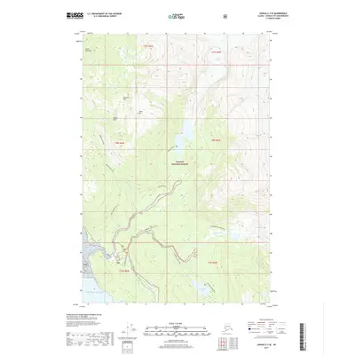
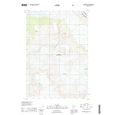
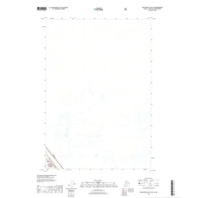
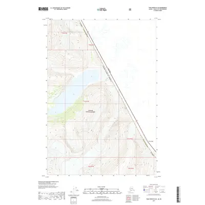
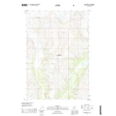
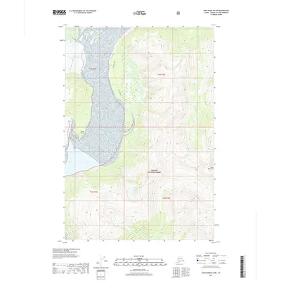
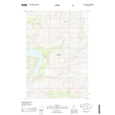
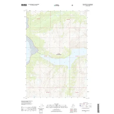
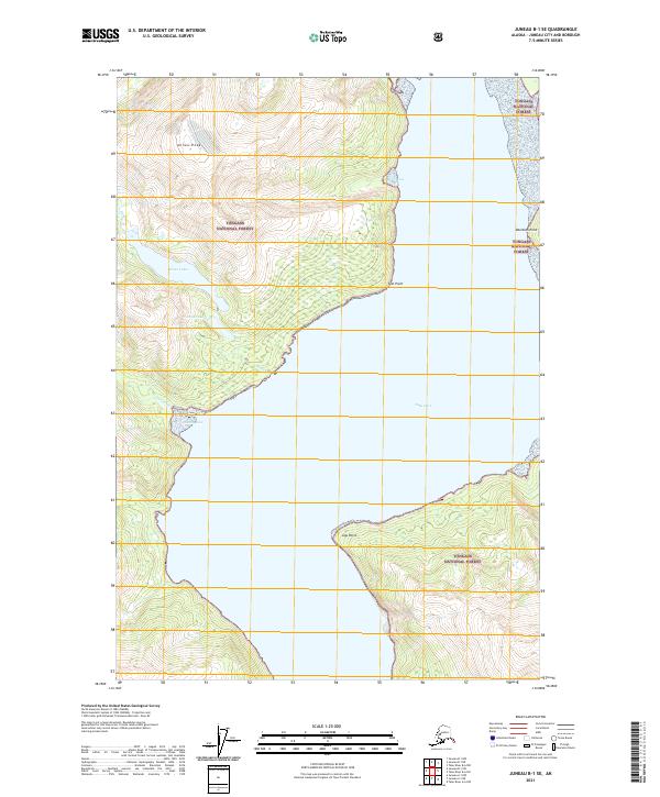
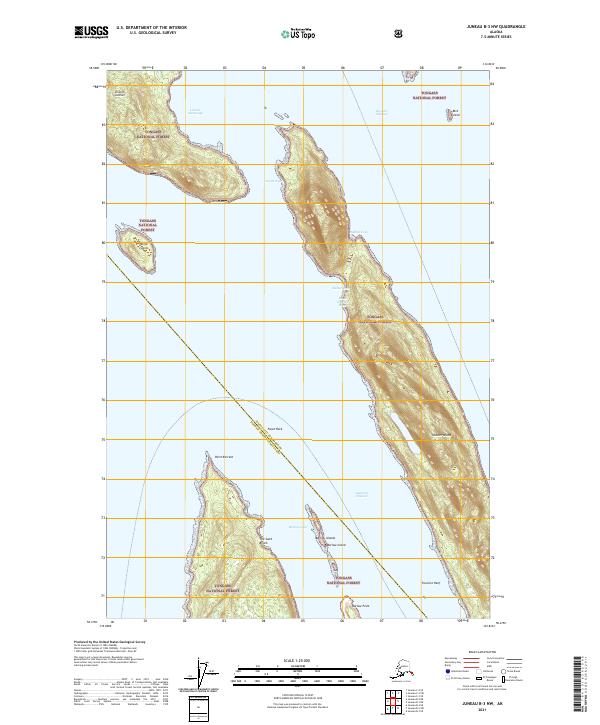
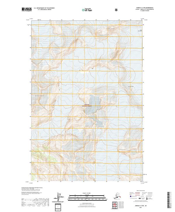
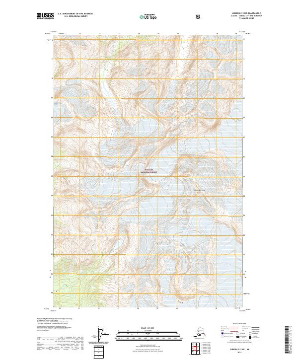
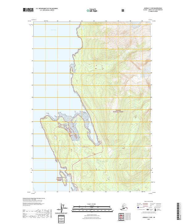
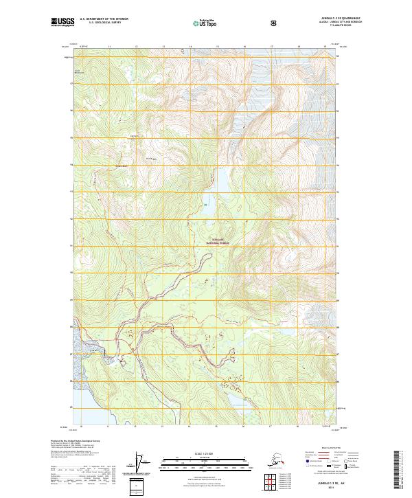
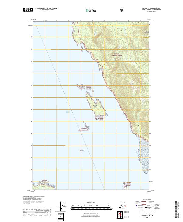
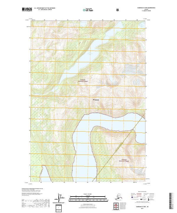
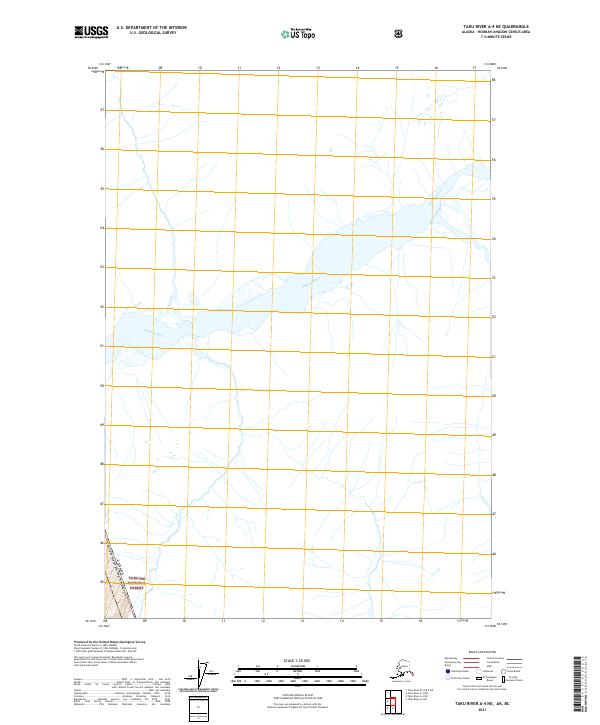
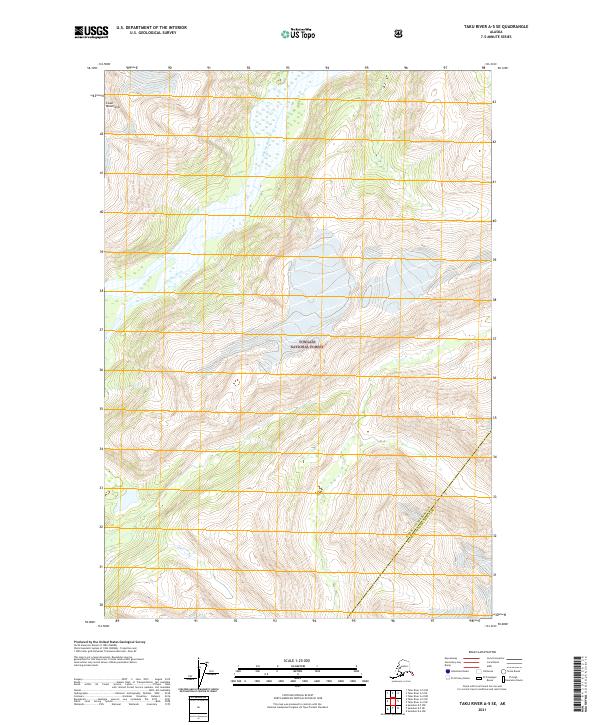
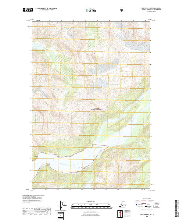
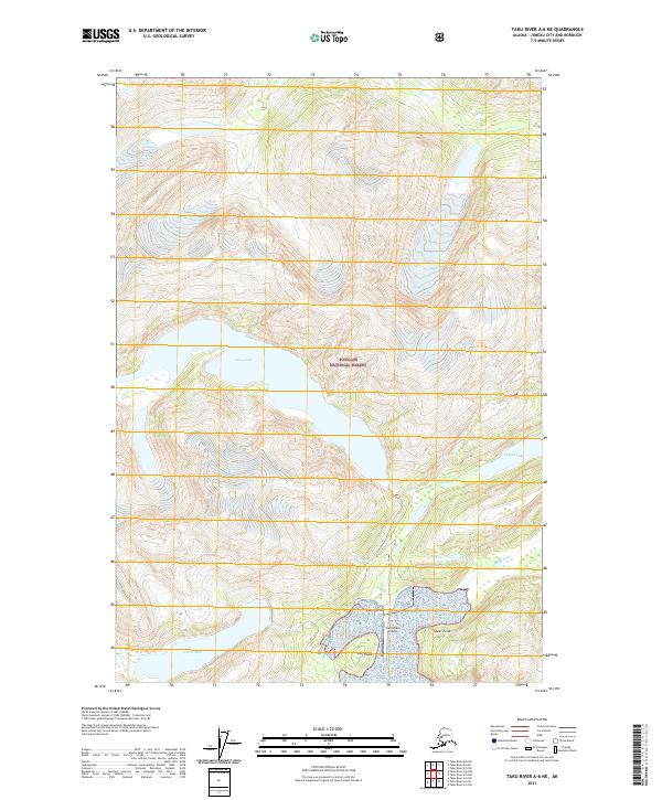
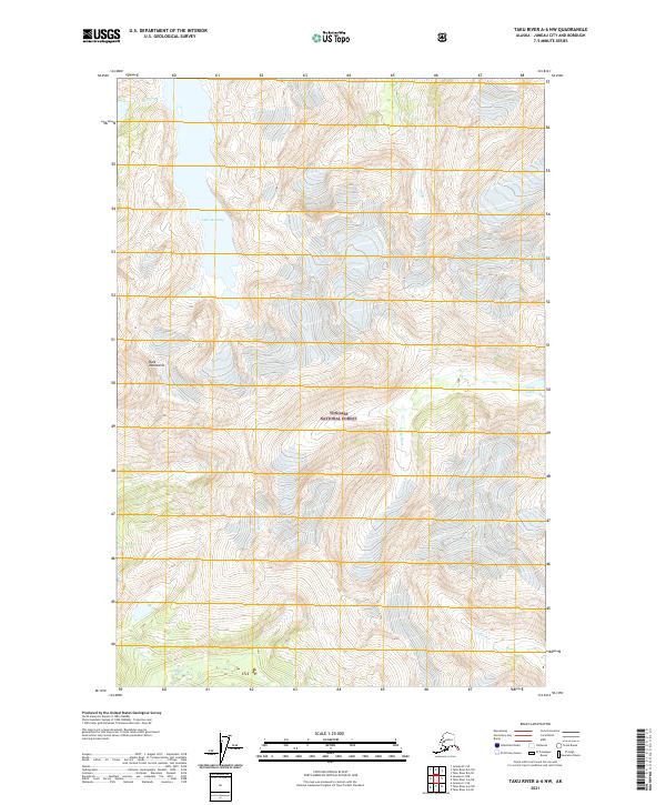
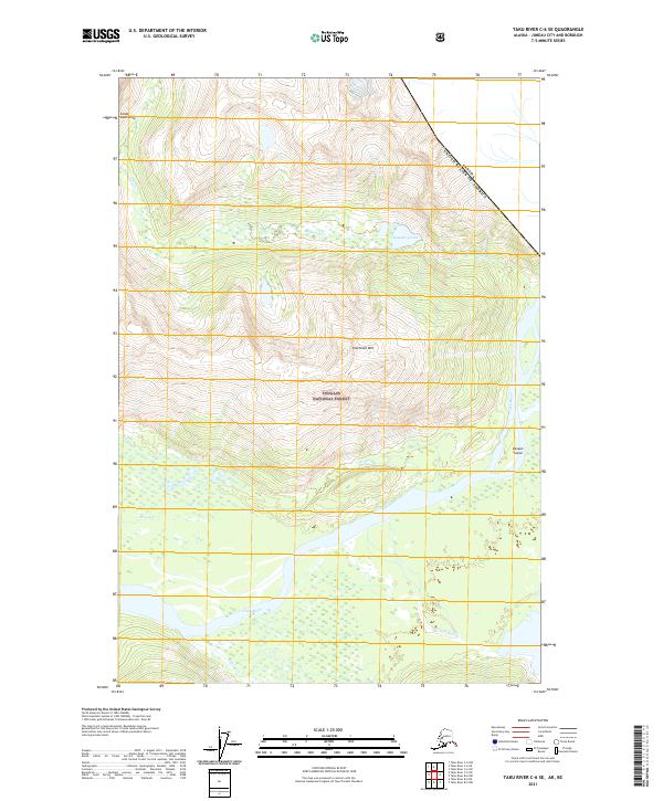
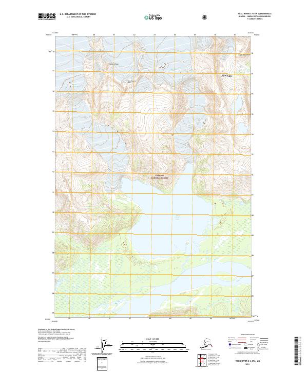
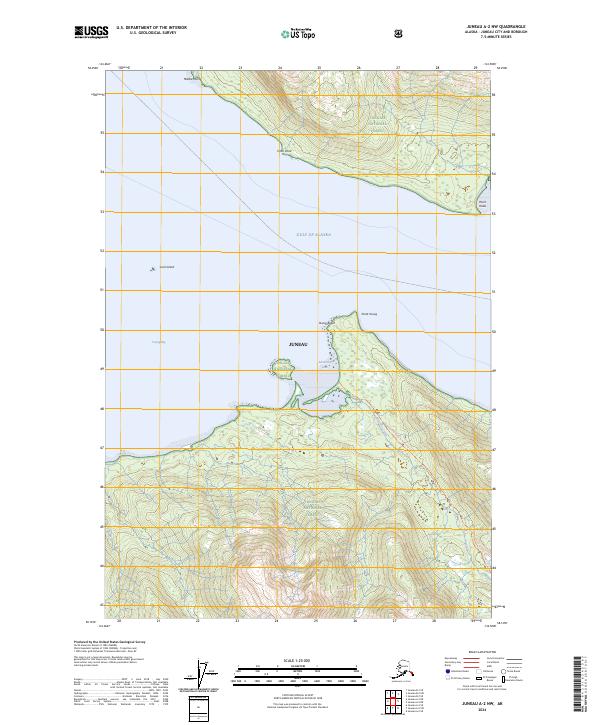
Whiting River and the Speel River dominate this coastal Alaskan landscape within the Juneau City and Borough. This 1996 revision, based on mid-century topography and 1990s imagery, shows a region defined by its glacial drainages and towering peaks. The protected lands of the Tracy Arm - Fords Terror Wilderness extend into the southeastern portion of the map, while the Tongass National Forest covers much of the remaining terrain.
Find a feature on this map
12 named features on this map. Tap any name to fly to it.
Don’t see what you’re looking for? This feature index may not catch every label — zoom into the map to look around manually.
Map Details
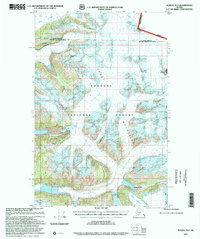
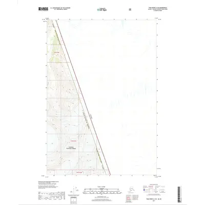
Editions of this 1996 Taku River A-5 Map
This is the sole edition of this map. No revisions or reprints were ever made.
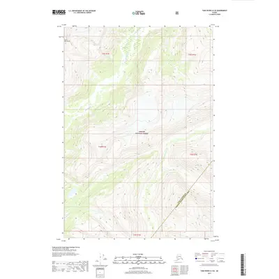
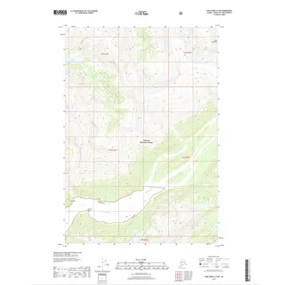
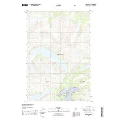
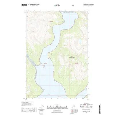
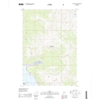
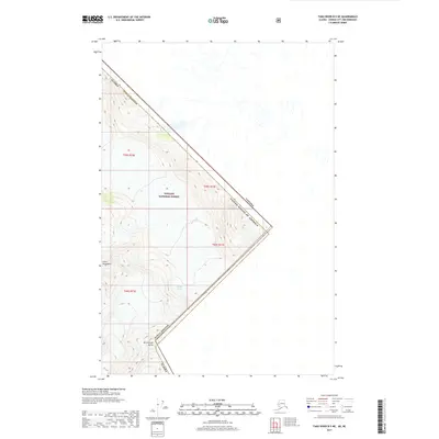
Historical Maps of Unorganized Borough Through Time
201 maps found
1947 Juneau B-2
Juneau Borough, AK
1947 Juneau B-3
Juneau Borough, AK
1948 Juneau B-1
Juneau Borough, AK
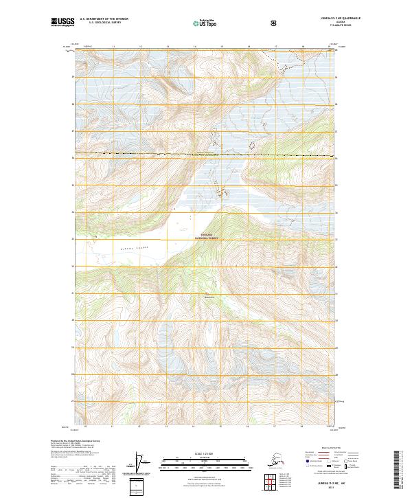
1948 Juneau D-3
Juneau Borough, AK

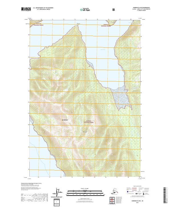
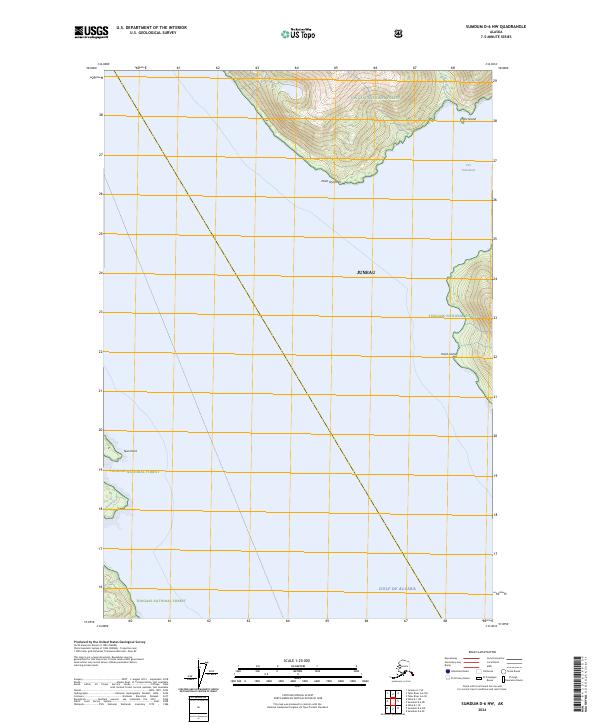
1948 Sumdum D-6
Juneau Borough, AK
1949 Juneau B-2
Juneau Borough, AK

1949 Juneau B-3
Juneau Borough, AK
1949 Juneau D-3
Juneau Borough, AK
1951 Juneau A-1
Juneau Borough, AK
1951 Juneau A-2
Juneau Borough, AK
1951 Juneau C-3
Juneau Borough, AK
1951 Sumdum D-6
Juneau Borough, AK
1951 Taku River A-5
Juneau Borough, AK
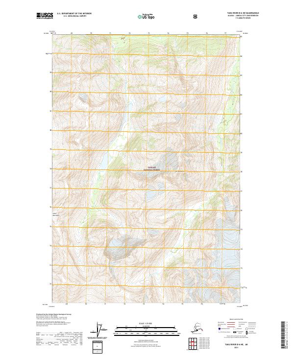
1951 Taku River A-6
Juneau Borough, AK
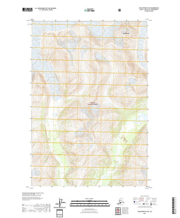
1951 Taku River B-5
Juneau Borough, AK
1951 Taku River B-6
Juneau Borough, AK
1952 Juneau B-1
Juneau Borough, AK
1952 Juneau C-3
Juneau Borough, AK
1953 Juneau D-3
Juneau Borough, AK
1953 Taku River
Juneau Borough, AK
1954 Juneau A-1
Juneau Borough, AK
1960 Juneau C-1
Juneau Borough, AK
1960 Juneau C-2
Juneau Borough, AK
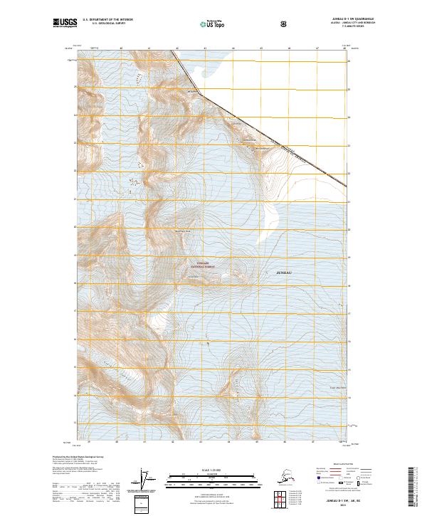
1960 Juneau D-1
Juneau Borough, AK
1960 Juneau D-2
Juneau Borough, AK
1960 Taku River C-5
Juneau Borough, AK
1960 Taku River C-6
Juneau Borough, AK
1960 Taku River
Juneau Borough, AK
1962 Juneau B-2
Juneau Borough, AK
1962 Juneau B-3
Juneau Borough, AK
1986 Juneau A-1 NW
Juneau Borough, AK
1986 Juneau A-2 NE
Juneau Borough, AK
1986 Juneau A-2 NW
Juneau Borough, AK
1986 Juneau B-1 SW
Juneau Borough, AK
1986 Juneau B-2 NW
Juneau Borough, AK
1986 Juneau B-2 SE
Juneau Borough, AK
1986 Juneau B-2 SW
Juneau Borough, AK
1986 Juneau B-3 NE
Juneau Borough, AK
1986 Juneau B-3 NW
Juneau Borough, AK
1986 Juneau B-3 SE
Juneau Borough, AK
1986 Juneau C-3 NW
Juneau Borough, AK
1986 Juneau C-3 SE
Juneau Borough, AK
1986 Juneau C-3 SW
Juneau Borough, AK
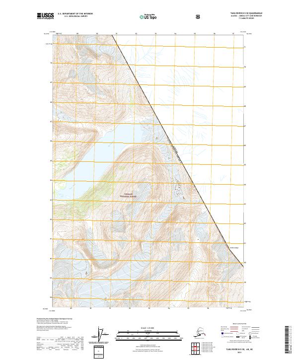
1994 Taku River B-6
Juneau Borough, AK
1995 Taku River C-6
Juneau Borough, AK
1996 Juneau A-1
Juneau Borough, AK
1996 Juneau A-2
Juneau Borough, AK
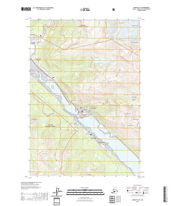
1996 Juneau B-3
Juneau Borough, AK
1996 Juneau C-3
Juneau Borough, AK
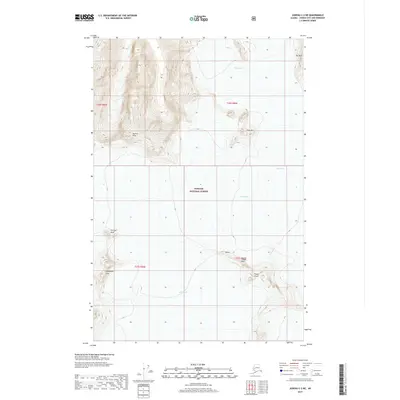
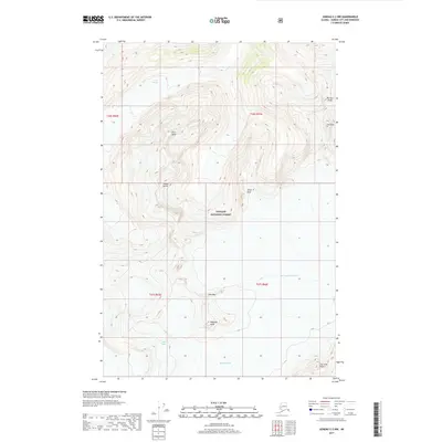
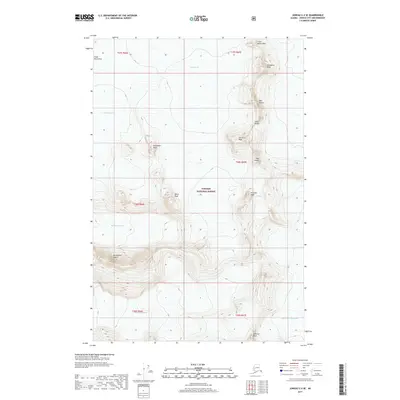
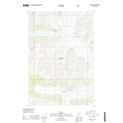
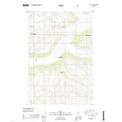
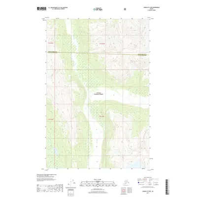
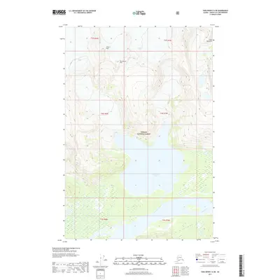
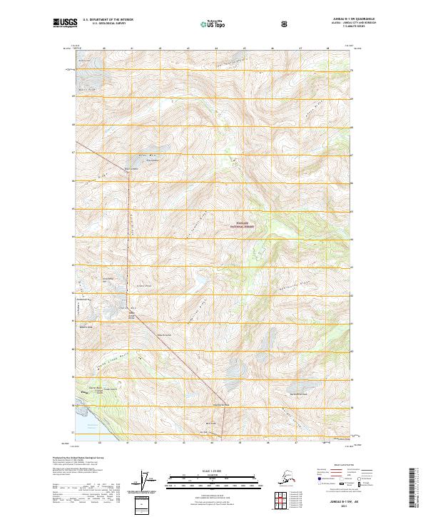
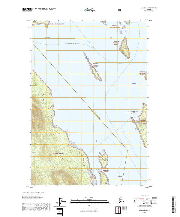
1996 Taku River A-5
Juneau Borough, AK
1997 Juneau B-1
Juneau Borough, AK
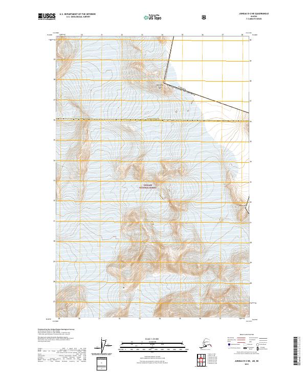
1997 Juneau D-2
Juneau Borough, AK
2017 Juneau A-1 NE
Juneau Borough, AK
2017 Juneau A-1 NW
Juneau Borough, AK
2017 Juneau A-2 NE
Juneau Borough, AK
2017 Juneau A-2 NW
Juneau Borough, AK
2017 Juneau B-1 NE
Juneau Borough, AK
2017 Juneau B-1 NW
Juneau Borough, AK
2017 Juneau B-1 SE
Juneau Borough, AK
2017 Juneau B-1 SW
Juneau Borough, AK
2017 Juneau B-2 NE
Juneau Borough, AK
2017 Juneau B-2 NW
Juneau Borough, AK
2017 Juneau B-2 SE
Juneau Borough, AK
2017 Juneau B-2 SW
Juneau Borough, AK
2017 Juneau B-3 NE
Juneau Borough, AK
2017 Juneau B-3 NW
Juneau Borough, AK
2017 Juneau B-3 SE
Juneau Borough, AK
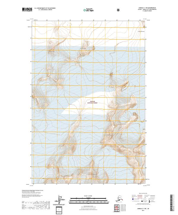
2017 Juneau C-1 NE
Juneau Borough, AK
2017 Juneau C-1 NW
Juneau Borough, AK
2017 Juneau C-1 SE
Juneau Borough, AK
2017 Juneau C-1 SW
Juneau Borough, AK
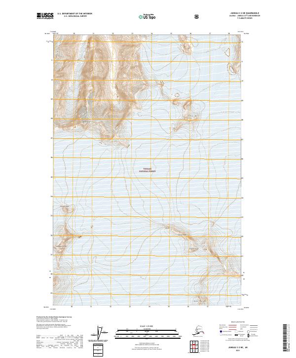
2017 Juneau C-2 NE
Juneau Borough, AK
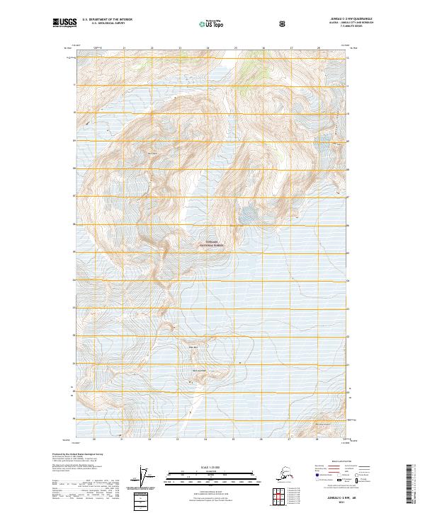
2017 Juneau C-2 NW
Juneau Borough, AK
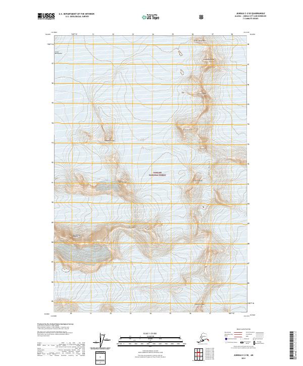
2017 Juneau C-2 SE
Juneau Borough, AK
2017 Juneau C-2 SW
Juneau Borough, AK
2017 Juneau C-3 NE
Juneau Borough, AK
2017 Juneau C-3 NW
Juneau Borough, AK
2017 Juneau C-3 SE
Juneau Borough, AK
2017 Juneau C-3 SW
Juneau Borough, AK
2017 Juneau C-4 NE
Juneau Borough, AK
2017 Juneau C-4 SE
Juneau Borough, AK
2017 Juneau D-1 NW
Juneau Borough, AK
2017 Juneau D-1 SE
Juneau Borough, AK
2017 Juneau D-1 SW
Juneau Borough, AK
2017 Juneau D-2 NE
Juneau Borough, AK
2017 Juneau D-2 NW
Juneau Borough, AK
2017 Juneau D-2 SE
Juneau Borough, AK
2017 Juneau D-2 SW
Juneau Borough, AK
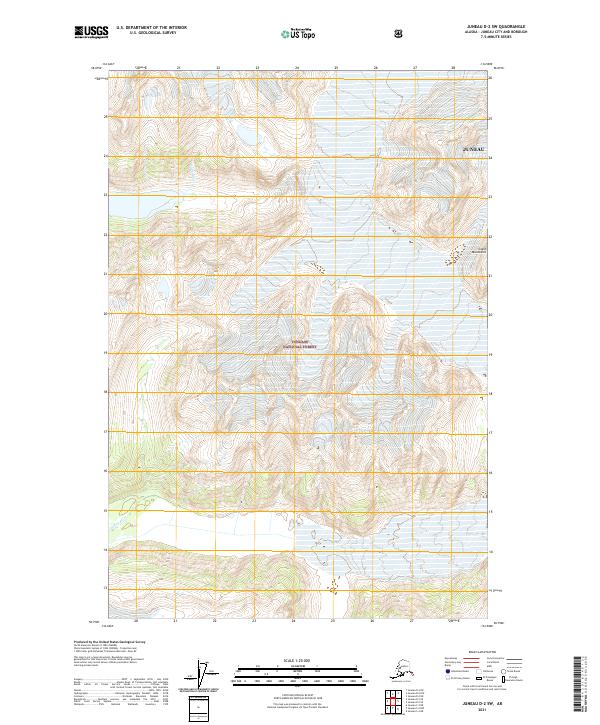
2017 Juneau D-3 NE
Juneau Borough, AK
2017 Juneau D-3 NW
Juneau Borough, AK
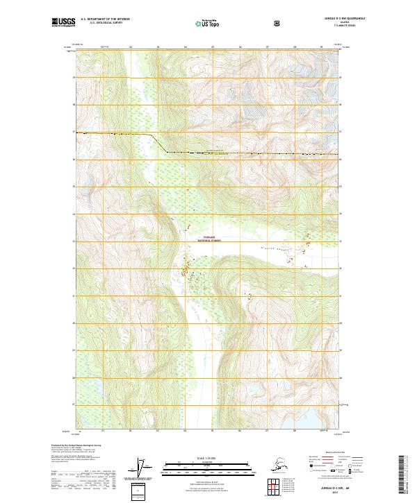
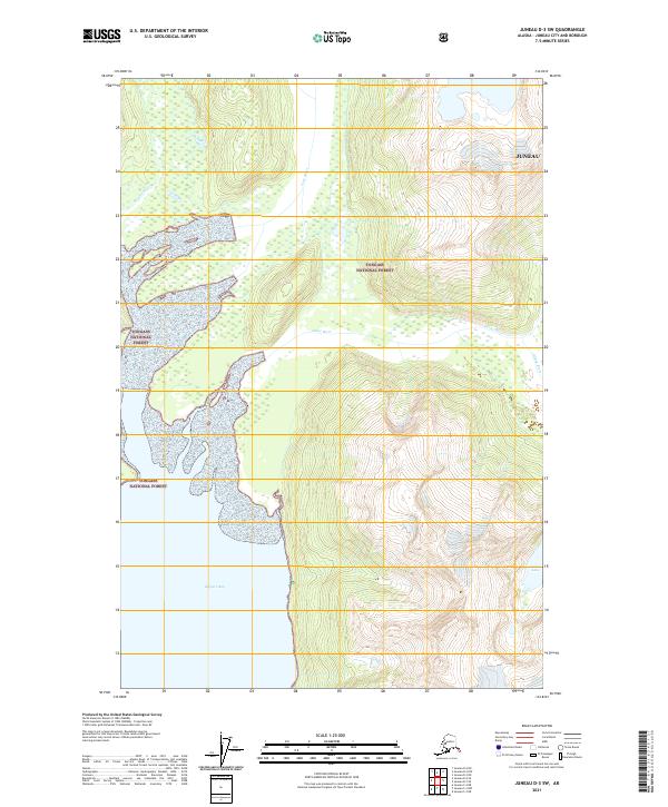
2017 Juneau D-3 SE
Juneau Borough, AK
2017 Juneau D-3 SW
Juneau Borough, AK
2017 Juneau D-4 NE
Juneau Borough, AK
2017 Juneau D-4 SE
Juneau Borough, AK
2017 Sumdum D-5 NW
Juneau Borough, AK
2017 Sumdum D-6 NE
Juneau Borough, AK
2017 Sumdum D-6 NW
Juneau Borough, AK
2017 Taku River A-4 NE
Juneau Borough, AK
2017 Taku River A-4 NW
Juneau Borough, AK
2017 Taku River A-4 SE
Juneau Borough, AK
2017 Taku River A-4 SW
Juneau Borough, AK
2017 Taku River A-5 NE
Juneau Borough, AK
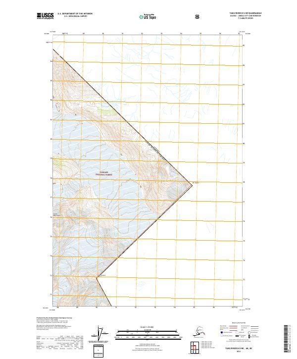
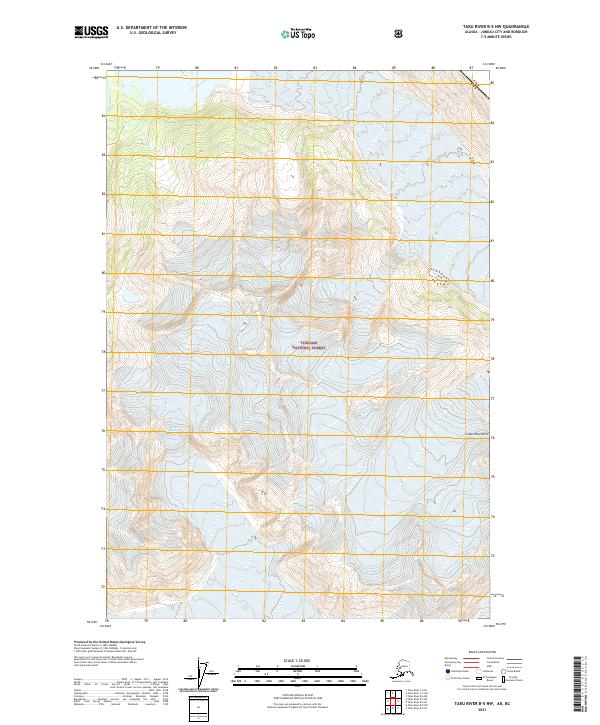
2017 Taku River A-5 NW
Juneau Borough, AK
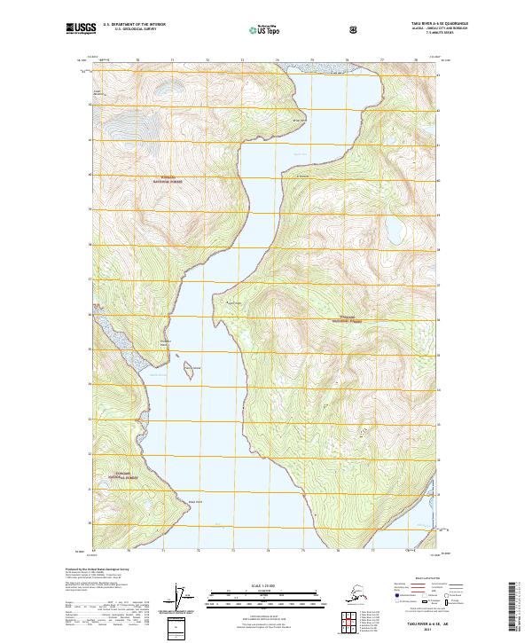
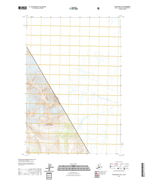
2017 Taku River A-5 SE
Juneau Borough, AK
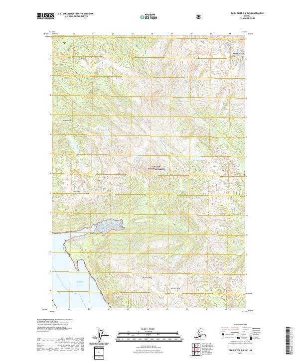
2017 Taku River A-5 SW
Juneau Borough, AK
2017 Taku River A-6 NE
Juneau Borough, AK
2017 Taku River A-6 NW
Juneau Borough, AK
2017 Taku River A-6 SE
Juneau Borough, AK
2017 Taku River A-6 SW
Juneau Borough, AK
2017 Taku River B-5 NE
Juneau Borough, AK
2017 Taku River B-5 NW
Juneau Borough, AK
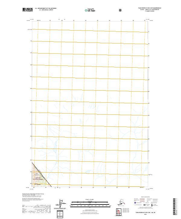
2017 Taku River B-5 OE E SW
Juneau Borough, AK
2017 Taku River B-5 SE
Juneau Borough, AK
2017 Taku River B-5 SW
Juneau Borough, AK
2017 Taku River B-6 NE
Juneau Borough, AK
2017 Taku River B-6 NW
Juneau Borough, AK
2017 Taku River B-6 SE
Juneau Borough, AK
2017 Taku River B-6 SW
Juneau Borough, AK
2017 Taku River C-5 SW
Juneau Borough, AK
2017 Taku River C-6 NE
Juneau Borough, AK
2017 Taku River C-6 NW
Juneau Borough, AK
2017 Taku River C-6 OE N SW
Juneau Borough, AK
2017 Taku River C-6 SE
Juneau Borough, AK
2017 Taku River C-6 SW
Juneau Borough, AK
2021 Juneau A-1 NE
Juneau Borough, AK
2021 Juneau A-1 NW
Juneau Borough, AK
2021 Juneau A-2 NE
Juneau Borough, AK
2021 Juneau A-2 NW
Juneau Borough, AK
2021 Juneau B-1 NE
Juneau Borough, AK
2021 Juneau B-1 NW
Juneau Borough, AK
2021 Juneau B-1 SE
Juneau Borough, AK
2021 Juneau B-1 SW
Juneau Borough, AK
2021 Juneau B-2 NE
Juneau Borough, AK
2021 Juneau B-2 NW
Juneau Borough, AK
2021 Juneau B-2 SE
Juneau Borough, AK
2021 Juneau B-2 SW
Juneau Borough, AK
2021 Juneau B-3 NE
Juneau Borough, AK
2021 Juneau B-3 NW
Juneau Borough, AK
2021 Juneau B-3 SE
Juneau Borough, AK
2021 Juneau C-1 NE
Juneau Borough, AK
2021 Juneau C-1 NW
Juneau Borough, AK
2021 Juneau C-1 SE
Juneau Borough, AK
2021 Juneau C-1 SW
Juneau Borough, AK
2021 Juneau C-2 NE
Juneau Borough, AK
2021 Juneau C-2 NW
Juneau Borough, AK
2021 Juneau C-2 SE
Juneau Borough, AK
2021 Juneau C-2 SW
Juneau Borough, AK
2021 Juneau C-3 NE
Juneau Borough, AK
2021 Juneau C-3 NW
Juneau Borough, AK
2021 Juneau C-3 SE
Juneau Borough, AK
2021 Juneau C-3 SW
Juneau Borough, AK
2021 Juneau C-4 NE
Juneau Borough, AK
2021 Juneau C-4 SE
Juneau Borough, AK

2021 Juneau D-1 NW
Juneau Borough, AK
2021 Juneau D-1 SE
Juneau Borough, AK
2021 Juneau D-1 SW
Juneau Borough, AK
2021 Juneau D-2 NE
Juneau Borough, AK
2021 Juneau D-2 NW
Juneau Borough, AK
2021 Juneau D-2 SE
Juneau Borough, AK
2021 Juneau D-2 SW
Juneau Borough, AK
2021 Juneau D-3 NE
Juneau Borough, AK
2021 Juneau D-3 NW
Juneau Borough, AK
2021 Juneau D-3 SE
Juneau Borough, AK
2021 Juneau D-3 SW
Juneau Borough, AK
2021 Juneau D-4 NE
Juneau Borough, AK
2021 Juneau D-4 SE
Juneau Borough, AK
2021 Sumdum D-5 NW
Juneau Borough, AK
2021 Sumdum D-6 NE
Juneau Borough, AK
2021 Sumdum D-6 NW
Juneau Borough, AK
2021 Taku River A-4 NE
Juneau Borough, AK
2021 Taku River A-4 NW
Juneau Borough, AK
2021 Taku River A-4 SE
Juneau Borough, AK
2021 Taku River A-4 SW
Juneau Borough, AK
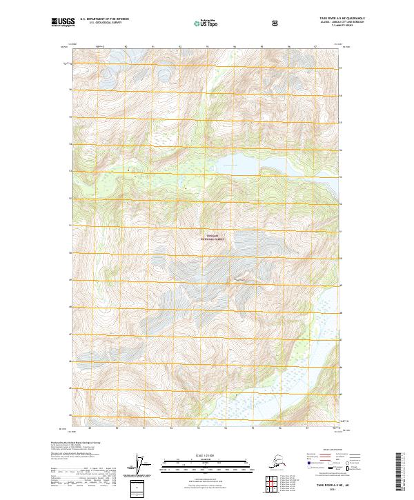
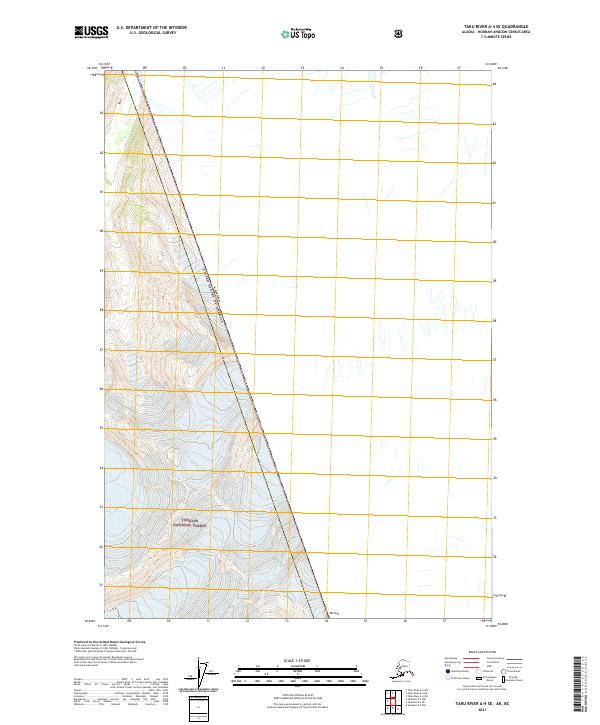
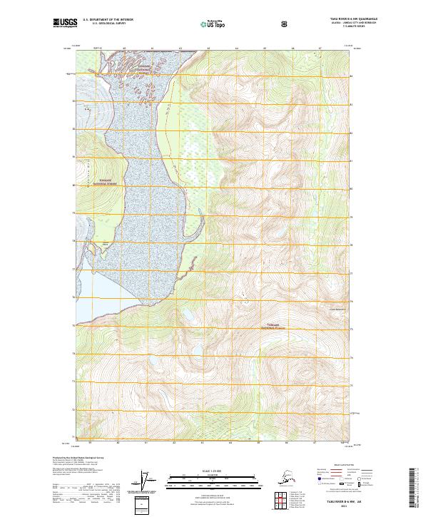
2021 Taku River A-5 NE
Juneau Borough, AK
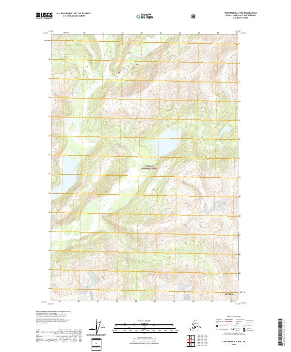
2021 Taku River A-5 NW
Juneau Borough, AK
2021 Taku River A-5 SE
Juneau Borough, AK
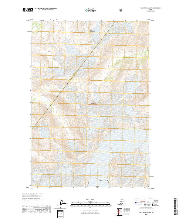
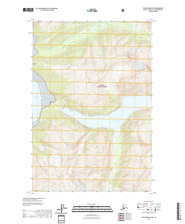
2021 Taku River A-5 SW
Juneau Borough, AK
2021 Taku River A-6 NE
Juneau Borough, AK
2021 Taku River A-6 NW
Juneau Borough, AK
2021 Taku River A-6 SE
Juneau Borough, AK
2021 Taku River A-6 SW
Juneau Borough, AK
2021 Taku River B-5 NE
Juneau Borough, AK
2021 Taku River B-5 NW
Juneau Borough, AK
2021 Taku River B-5 OE E SW
Juneau Borough, AK
2021 Taku River B-5 SE
Juneau Borough, AK
2021 Taku River B-5 SW
Juneau Borough, AK
2021 Taku River B-6 NE
Juneau Borough, AK
2021 Taku River B-6 NW
Juneau Borough, AK
2021 Taku River B-6 SE
Juneau Borough, AK
2021 Taku River B-6 SW
Juneau Borough, AK
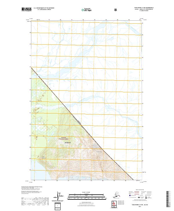
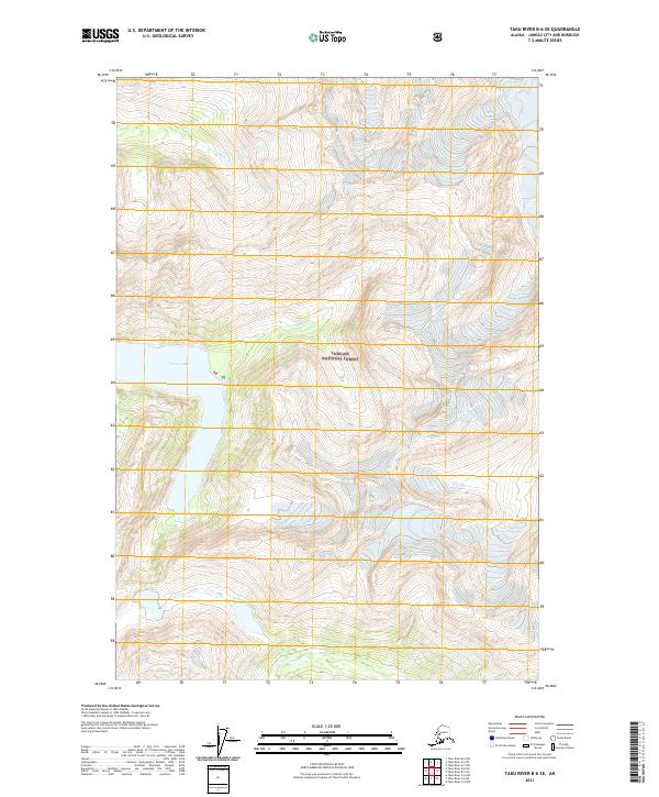
2021 Taku River C-5 SW
Juneau Borough, AK
2021 Taku River C-6 NE
Juneau Borough, AK
2021 Taku River C-6 NW
Juneau Borough, AK
2021 Taku River C-6 OE N SW
Juneau Borough, AK
2021 Taku River C-6 SE
Juneau Borough, AK
2021 Taku River C-6 SW
Juneau Borough, AK
2024 Juneau A-1 NE
Juneau Borough, AK
2024 Juneau A-1 NW
Juneau Borough, AK
2024 Juneau A-2 NE
Juneau Borough, AK
2024 Juneau A-2 NW
Juneau Borough, AK
2024 Sumdum D-6 NW
Juneau Borough, AK