
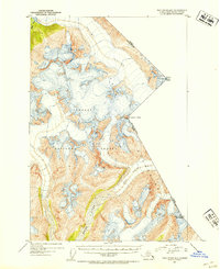
1951 Map of Taku River B-5
USGS Topo · Published 1954About this map
The Coast Mountains define this high-altitude landscape along the international border in the early 1950s. This survey records a massive glaciated region within the Tongass National Forest, dominated by the sprawling Wright Glacier in the north. The drainage patterns of the era are visible through the winding Speel River and the smaller Hidden Creek to the northwest. Significant peaks serve as essential markers for the British Columbia Alaska boundary, including Mount Ogden, Boundary Peak 85, and Mt Brundage. These summits, reaching heights over 7,400 feet, illustrate the surveying challenges faced by the International Boundary Commission in such inaccessible terrain.
Find a feature on this map
10 named features on this map. Tap any name to fly to it.
Don’t see what you’re looking for? This feature index may not catch every label — zoom into the map to look around manually.
Map Details
Editions of this 1951 Taku River B-5 Map
4 editions found
Other maps of this area

1951 · Taku River A-4
USGS Topo · 1:63,360

1951 · Taku River B-6
USGS Topo · 1:63,360

1951 · Taku River A-5
USGS Topo · 1:63,360

1951 · Taku River A-6
USGS Topo · 1:63,360

1953 · Taku River
USGS Topo · 1:250,000
1960 · Taku River C-5
USGS Topo · 1:63,360

1960 · Taku River C-6
USGS Topo · 1:63,360

1960 · Taku River
USGS Topo · 1:250,000

1994 · Taku River B-6
USGS Topo · 1:63,360

1995 · Taku River C-6
USGS Topo · 1:63,360