
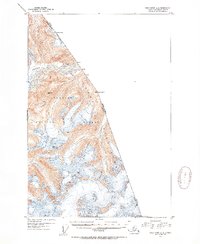
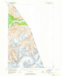
1951 Map of Taku River A-4
USGS Topo · Published 1954About this map
The Coast Mountains define this high-altitude landscape along the international border between Alaska and British Columbia. Mapped from aerial photography taken in 1948, the terrain is dominated by the massive glacial and ice-field systems of the Tongass National Forest. The Whiting River carves a narrow valley through the northern portion of the sheet, providing a rare low-elevation corridor beneath soaring peaks like Vabm Snow 5960 and Vabm Cook 5156.
Find a feature on this map
12 named features on this map. Tap any name to fly to it.
Don’t see what you’re looking for? This feature index may not catch every label — zoom into the map to look around manually.
Map Details
Editions of this 1951 Taku River A-4 Map
3 editions found
Other maps of this area

1948 · Sumdum D-5
USGS Topo · 1:63,360

1951 · Taku River A-5
USGS Topo · 1:63,360

1951 · Taku River B-5
USGS Topo · 1:63,360

1952 · Sumdum
USGS Topo · 1:250,000

1953 · Taku River
USGS Topo · 1:250,000

1955 · Sumdum D-5
USGS Topo · 1:63,360

1960 · Taku River
USGS Topo · 1:250,000

1960 · Sumdum D-4
USGS Topo · 1:63,360

1961 · Sumdum D-3
USGS Topo · 1:63,360

1961 · Sumdum
USGS Topo · 1:250,000